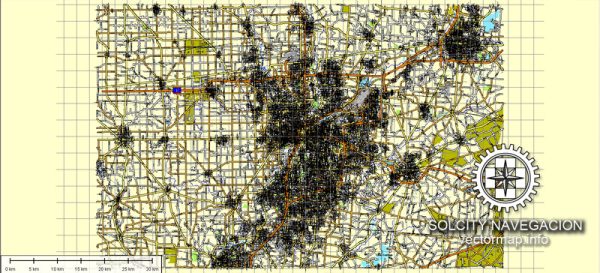
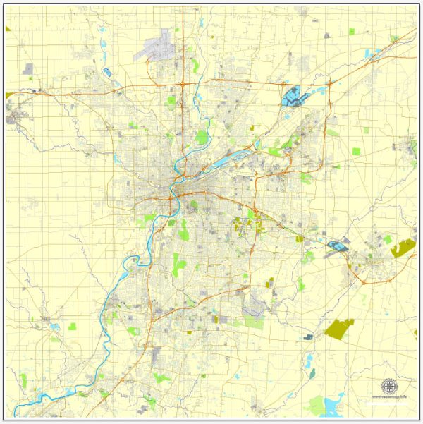
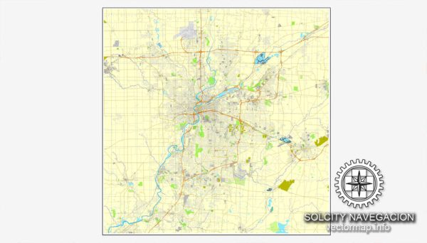
A general overview of the economic and transport connections in Dayton, Ohio.
Vectormap.Net provide you with the most accurate and up-to-date vector maps in Adobe Illustrator, PDF and other formats, designed for editing and printing. Please read the vector map descriptions carefully.
Economic Overview: Dayton, Ohio, has a diverse economy with strengths in various sectors. Historically, it has been known for its contributions to aerospace and manufacturing, especially with the presence of Wright-Patterson Air Force Base. The city has diversified its economy over the years, and key sectors include healthcare, advanced manufacturing, research and development, and technology.
- Aerospace and Defense: Wright-Patterson Air Force Base is a major economic driver, contributing significantly to aerospace and defense industries. It houses research facilities, laboratories, and numerous defense contractors.
- Healthcare: Dayton has a strong healthcare sector, with several hospitals and medical research facilities. Premier Health and Kettering Health Network are among the prominent healthcare providers in the region.
- Manufacturing: The manufacturing sector remains essential to Dayton’s economy, encompassing not only aerospace and defense but also automotive, advanced materials, and more.
- Technology and Innovation: The city has been fostering technology and innovation through initiatives like the Dayton Tech Guide and support for startups. The Wright State Research Institute is an example of institutions contributing to research and technology development.
- Education and Research: Dayton is home to several educational institutions, including the University of Dayton and Wright State University, contributing to research and development activities.
Transportation Connections: Dayton’s strategic location and transportation infrastructure make it accessible by various means.
- Highways: Dayton is well-connected by major highways, including I-75, I-70, and I-675, facilitating easy movement of goods and people within the city and to other parts of the country.
- Airport: Dayton International Airport (DAY) serves as the primary airport for the region. It provides both domestic and limited international flights, supporting business and leisure travel.
- Rail: While not as prominent as other modes of transportation, rail connections are available for freight transportation. Amtrak, the national passenger rail service, does not currently serve Dayton directly.
- Public Transit: The Greater Dayton Regional Transit Authority (RTA) operates buses that serve the city and surrounding areas, providing public transportation options.
- River Transportation: Dayton is not directly on a major river, but the nearby Great Miami River may be used for limited water transportation.


 Author: Kirill Shrayber, Ph.D. FRGS