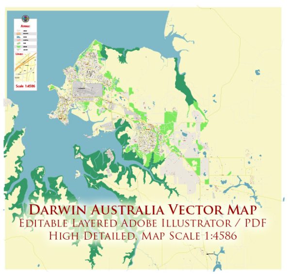
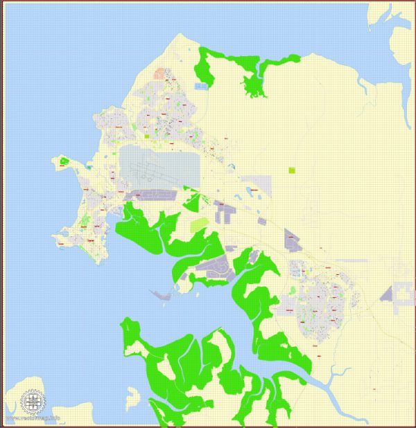
A general overview of the economic and transportation aspects of Darwin, Australia.
Vectormap.Net provide you with the most accurate and up-to-date vector maps in Adobe Illustrator, PDF and other formats, designed for editing and printing. Please read the vector map descriptions carefully.
Economic Overview:
- Key Sectors:
- Resources and Energy: Darwin plays a significant role in the export of natural resources, including minerals, oil, and gas. The nearby Timor Sea is a major source of offshore petroleum and natural gas reserves.
- Tourism: The city attracts tourists due to its proximity to natural attractions such as Kakadu National Park and Litchfield National Park.
- Defense and Government: Darwin is home to military facilities and has a strategic importance in defense. Government employment and defense-related activities contribute to the local economy.
- Port and Trade:
- Darwin Port: The Port of Darwin is a major gateway for the export of minerals and energy resources. It has facilities for handling bulk cargo, containerized goods, and livestock.
- Trade: The city’s economy is influenced by international trade, particularly with Asian countries. The export of resources and the import of goods contribute to economic activities.
- Government Spending:
- Defense Expenditure: The presence of defense facilities contributes to government spending and supports the local economy. The Australian Defense Force has a significant presence in the region.
- Infrastructure Projects:
- Infrastructure Development: Ongoing and planned infrastructure projects, such as roads and ports, can have a positive impact on the local economy.
Transportation:
- Air Transportation:
- Darwin International Airport: The city is served by Darwin International Airport, which facilitates domestic and international flights. It plays a crucial role in connecting the Northern Territory to other parts of Australia and the world.
- Road Transportation:
- Road Network: Darwin has a well-developed road network that connects it to other parts of the Northern Territory and Australia. The Stuart Highway is a major route linking Darwin to Adelaide in South Australia.
- Public Transportation:
- Bus Services: Public bus services operate within the city, providing transportation for residents and tourists.
- Taxi Services: Taxis are available for transportation within the city.
- Port and Maritime Transportation:
- Port of Darwin: The port facilitates the import and export of goods, serving as a vital hub for maritime transportation.
- Rail Transportation:
- Limited Rail Network: While there is a rail network in the Northern Territory, it is not as extensive as road transportation. Rail transport primarily focuses on resource industries.
- Cycling and Walking:
- Cycling Paths and Walkways: Darwin has cycling paths and walkways that contribute to sustainable and healthy transportation options.
It’s important to note that economic and transportation dynamics can evolve over time, and there may have been developments or changes since my last update. For the latest and most accurate information, consider checking with local government sources or recent publications.


 Author: Kirill Shrayber, Ph.D. FRGS