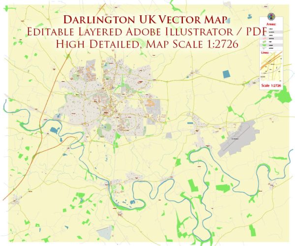
A general overview of the history and road system in Darlington, UK.
Vectormap.Net provide you with the most accurate and up-to-date vector maps in Adobe Illustrator, PDF and other formats, designed for editing and printing. Please read the vector map descriptions carefully.
History of Darlington:
1. Early History:
- Darlington has a rich history dating back to Roman times when it was a key settlement on the road from York to the North-East.
- The name “Darlington” is believed to originate from the Anglo-Saxon period.
2. Industrial Revolution:
- The town played a significant role in the Industrial Revolution, with the opening of the Stockton and Darlington Railway in 1825. This railway, designed primarily for transporting coal from mines near Shildon, is often considered the world’s first public railway.
3. Growth and Development:
- The growth of railway connections contributed to the town’s economic and population expansion during the 19th century.
- Industries such as engineering, manufacturing, and textiles thrived in Darlington.
4. Modern Era:
- In the 20th century, Darlington continued to evolve as an urban center with developments in infrastructure, education, and healthcare.
Road System in Darlington:
1. Road Networks:
- Darlington is well-connected by road networks, and the A1(M) motorway runs nearby, providing quick access to major cities like Newcastle and Leeds.
2. Key Roads:
- The A66 dual carriageway connects Darlington to the A1(M) and provides an important east-west route.
- The A68 runs to the west of the town, connecting Darlington with other parts of the region.
3. Inner Town Roads:
- The town itself has a network of roads and streets connecting residential areas, commercial districts, and key landmarks.
4. Transport Infrastructure:
- Darlington has a railway station, reflecting its historical significance in the development of rail transport. The station is a major stop on the East Coast Main Line.
5. Infrastructure Projects:
- Over the years, there have likely been infrastructure projects aimed at improving road systems, managing traffic, and enhancing connectivity.
6. Public Transport:
- In addition to roads and railways, there may be local bus services contributing to the public transportation network.
7. Pedestrian and Cycling Infrastructure:
- Modern urban planning often includes provisions for pedestrian walkways and cycling paths. These may have been implemented to encourage alternative modes of transportation.
For the most up-to-date and detailed information on the history and road system in Darlington, it’s recommended to check with local authorities, historical archives, or recent news sources.


 Author: Kirill Shrayber, Ph.D.