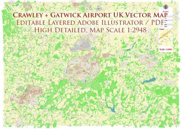
Information on the transportation infrastructure in Crawley, United Kingdom, and the connectivity to Gatwick Airport.
Vectormap.Net provide you with the most accurate and up-to-date vector maps in Adobe Illustrator, PDF and other formats, designed for editing and printing. Please read the vector map descriptions carefully.
Crawley Transportation Infrastructure:
- Roads and Highways:
- Crawley is well-connected by road networks. The M23 motorway runs to the west of the town, providing easy access to London and Brighton.
- The A23 road also passes through Crawley, linking it to London and the south coast.
- Rail Transport:
- Crawley has a major railway station known as Crawley railway station. It is served by trains running on the Brighton Main Line, connecting it to London Victoria, Gatwick Airport, and Brighton.
- The Gatwick Express, a dedicated train service, provides a fast connection between Crawley and Gatwick Airport.
- Bus Services:
- Crawley is served by a comprehensive bus network, connecting different parts of the town and nearby areas. Bus services are operated by various companies, including Metrobus.
- Metrobus services provide connections to Gatwick Airport, Horsham, and other nearby towns.
- Cycling and Pedestrian Infrastructure:
- Crawley has made efforts to improve cycling infrastructure, including dedicated cycling lanes and bike-sharing programs.
- Pedestrian-friendly zones and sidewalks are present in the town center.
Gatwick Airport Connectivity:
- Gatwick Airport Railway Station:
- Gatwick Airport has its own railway station, located at the South Terminal. It provides direct rail services to various destinations, including London Victoria, London Bridge, and Brighton.
- The Gatwick Express is a non-stop train service that connects Gatwick Airport to London Victoria in about 30 minutes.
- Road Access:
- Gatwick Airport is well-connected to the road network, with the M23 motorway providing easy access. The airport is located about 28 miles south of Central London.
- Bus and Coach Services:
- Various bus and coach services operate to and from Gatwick Airport, providing connectivity to nearby towns and cities.
- Taxi Services:
- Taxis are available at designated ranks at both the North and South Terminals of Gatwick Airport, providing convenient transportation options for passengers.


 Author: Kirill Shrayber, Ph.D. FRGS