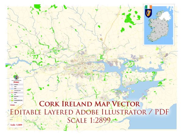
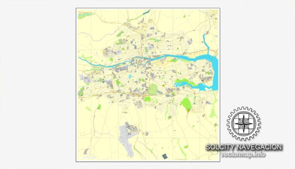
Cork, Ireland, has a rich political and economic history that spans centuries.
Vectormap.Net provide you with the most accurate and up-to-date vector maps in Adobe Illustrator, PDF and other formats, designed for editing and printing. Please read the vector map descriptions carefully.
Here’s a brief overview:
Political History:
- Medieval Period (6th–17th centuries):
- Cork City was founded in the 6th century by St. Finbarr. It grew as a trading port and became a hub for commerce during the medieval period.
- The city was controlled by various Irish clans until the Anglo-Norman invasion in the 12th century. Cork became a walled town with a castle.
- The English Crown’s influence increased, and the city saw various power struggles between English settlers and the local Irish population.
- Early Modern Period (17th–18th centuries):
- The city played a significant role in the Cromwellian and Williamite wars, leading to changes in landownership and political power.
- Cork developed as a center for trade and industry, and its port became vital for exporting goods.
- 19th Century:
- The 19th century brought social and political changes, with Cork being a focal point for political movements such as the Young Irelanders.
- The Great Famine (1845–1852) had a profound impact on the region, causing widespread suffering and emigration.
- 20th Century:
- The struggle for Irish independence gained momentum in the early 20th century. Cork played a role in the War of Independence (1919–1921) and the subsequent Irish Civil War.
- The Anglo-Irish Treaty led to the establishment of the Irish Free State in 1922.
- Post-Independence Period:
- Cork continued to grow as a commercial and industrial center. It faced economic challenges, particularly in the mid-20th century.
- The Troubles in Northern Ireland also had an impact on Cork, with occasional violence and tensions.
Economic History:
- Trade and Commerce:
- Cork has a long history as a trading port, with economic activities dating back to the medieval period.
- The city’s port played a crucial role in the import and export of goods, contributing to economic growth.
- Industrialization:
- The 19th century saw industrialization, and Cork became a center for brewing, distilling, and textile manufacturing.
- The Ford Motor Company established a plant in Cork in the early 20th century, contributing to the city’s industrial landscape.
- Challenges and Transformations:
- The mid-20th century brought economic challenges, including industrial decline and emigration.
- In recent decades, Cork has experienced economic revitalization, with a focus on technology, pharmaceuticals, and other high-tech industries.
- Technological Hub:
- Cork has become a significant technological hub, with many multinational companies establishing operations in the region.
- The growth of the tech sector has contributed to Cork’s economic prosperity in the 21st century.
Today, Cork stands as a vibrant city with a diverse economy, shaped by its historical resilience, trade connections, and adaptability to changing economic landscapes.


 Author: Kirill Shrayber, Ph.D. FRGS