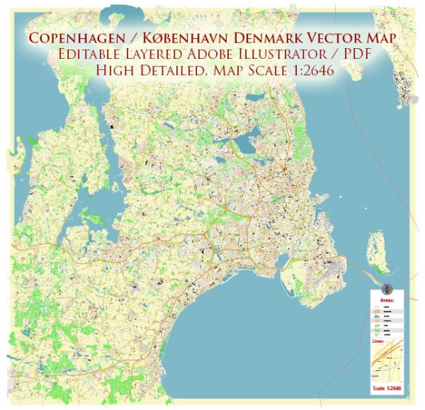
Copenhagen, often referred to as København in Danish, is the capital and largest city of Denmark. The city’s history and road system have evolved over centuries, reflecting its status as a major European capital and an important economic and cultural hub.
Vectormap.Net provide you with the most accurate and up-to-date vector maps in Adobe Illustrator, PDF and other formats, designed for editing and printing. Please read the vector map descriptions carefully.
History of Copenhagen:
1. Early History:
- Copenhagen’s origins can be traced back to the Viking Age when it was a fishing village known as “Havn” (harbor) in the 10th century.
- It became the capital of Denmark in the 15th century during the reign of King Christian IV.
2. Renaissance and Growth:
- The city experienced significant growth and development during the Renaissance, marked by the construction of notable buildings and fortifications.
- King Christian IV played a crucial role in shaping the city’s architecture, including the construction of Rosenborg Castle and the district of Christianshavn.
3. Industrialization and Modernization:
- The 19th century saw industrialization and modernization, transforming Copenhagen into a thriving urban center.
- Land reclamation projects expanded the city’s area, creating new neighborhoods and infrastructure.
4. World War II:
- During World War II, Copenhagen faced occupation by Nazi Germany from 1940 to 1945. The city endured challenges, but its resistance efforts played a role in the eventual liberation of Denmark.
5. Post-War Era and Contemporary Times:
- After the war, Copenhagen continued to grow economically and culturally. It embraced modern architecture while preserving its historic charm.
- In recent decades, Copenhagen gained international recognition for its sustainable urban development, bike-friendly infrastructure, and commitment to environmental initiatives.
Road System in Copenhagen:
Copenhagen boasts a well-developed and efficient road system that supports the city’s transportation needs. Key features include:
1. Cycling Infrastructure:
- Copenhagen is renowned for its extensive cycling infrastructure. Dedicated bike lanes, bike-sharing programs, and a culture that encourages cycling contribute to the city’s reputation as one of the most bike-friendly in the world.
2. Public Transportation:
- The city has an efficient public transportation system, including buses, trains, and the Metro. The Metro, introduced in the early 2000s, has significantly improved connectivity.
3. Bridges and Tunnels:
- Several bridges connect Copenhagen to neighboring areas. The Øresund Bridge, a combined rail and road bridge, links Copenhagen to Malmö in Sweden, fostering regional integration.
4. Ring Roads:
- Copenhagen has a network of ring roads facilitating traffic flow around the city. The Inner and Outer ring roads help manage traffic and connect various neighborhoods.
5. Pedestrian Zones:
- The city center features pedestrian-friendly zones with limited vehicle access. Strøget, one of Europe’s longest pedestrian streets, is a vibrant shopping area.
6. Urban Planning and Sustainability:
- Copenhagen’s urban planning emphasizes sustainability, green spaces, and reducing reliance on cars. Initiatives like the “Green Wave” for cyclists prioritize environmentally friendly transportation.
In summary, Copenhagen’s history reflects a rich tapestry of development, while its road system embodies modern, sustainable urban planning with a focus on alternative transportation methods like cycling and efficient public transit.


 Author: Kirill Shrayber, Ph.D. FRGS