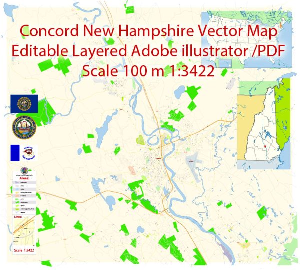
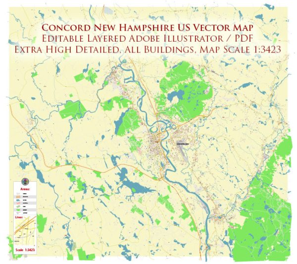
A general overview of the transportation infrastructure in Concord, New Hampshire.
Vectormap.Net provide you with the most accurate and up-to-date vector maps in Adobe Illustrator, PDF and other formats, designed for editing and printing. Please read the vector map descriptions carefully.
- Roads and Highways:
- Interstate Highways: Concord is served by Interstate 93, which connects it to major cities like Manchester to the south and the White Mountains to the north.
- State Highways: Several state routes intersect in Concord, facilitating regional connectivity.
- Public Transit:
- Concord Area Transit (CAT): CAT provides public transportation services within the city and nearby areas. This includes fixed-route bus services and door-to-door services for eligible individuals.
- InterCity Bus Services: Greyhound Lines and other intercity bus services connect Concord to other cities in the region.
- Rail Transportation:
- Concord has a historic train station, but passenger rail services are limited. However, there have been discussions about expanding commuter rail services in the region.
- Airports:
- Concord Municipal Airport: This is a general aviation airport serving the local community.
- Bicycle and Pedestrian Infrastructure:
- Concord has been working on improving its bicycle and pedestrian infrastructure, with the development of bike lanes, sidewalks, and trails to enhance non-motorized transportation options.
- Car Rentals and Taxis:
- Car rental services are available in Concord, providing options for those who need temporary transportation.
- Taxis and rideshare services may also be accessible.
- Port Facilities:
- Given Concord’s inland location, it doesn’t have direct access to seaports. However, it is connected to regional ports via highways and railroads.
- Planned Projects and Future Developments:
- Infrastructure development is an ongoing process, and there might be planned projects or future developments aimed at improving transportation in and around Concord.
For the most up-to-date and detailed information on Concord’s transportation infrastructure, it is recommended to check with local government sources, transportation authorities, or official city websites for the latest news and developments.


 Author: Kirill Shrayber, Ph.D. FRGS