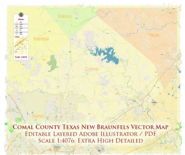
A general overview of the economic and transportation aspects of Comal County, Texas.
Vectormap.Net provide you with the most accurate and up-to-date vector maps in Adobe Illustrator, PDF and other formats, designed for editing and printing. Please read the vector map descriptions carefully.
Economic Overview:
- Diverse Economy: Comal County has a diverse economy with a mix of industries contributing to its growth. Key sectors include healthcare, education, manufacturing, retail, and tourism.
- Tourism: The county is known for its natural beauty, recreational opportunities, and historical sites. Tourists often visit destinations such as the Guadalupe River, Canyon Lake, and the historic town of Gruene.
- Healthcare and Education: Comal County is home to healthcare facilities and educational institutions that play a vital role in its economic landscape. The presence of hospitals, clinics, and schools contributes to both employment and services for residents.
- Manufacturing: Manufacturing activities in the county range from small-scale enterprises to larger industrial operations. This sector may include the production of goods such as machinery, electronics, or food products.
- Real Estate: The real estate market in Comal County is influenced by factors such as population growth, tourism, and local economic conditions. Residential and commercial development is ongoing in various parts of the county.
- Agriculture: While urbanization has transformed parts of Comal County, agriculture remains a significant component of its economy. Cattle ranching and farming contribute to the county’s agricultural sector.
Transportation:
- Roads and Highways: Comal County is well-connected by a network of roads and highways. Major highways include Interstate 35, which passes through the eastern part of the county, providing essential north-south connectivity. Other important routes include U.S. Highway 281.
- Public Transportation: Public transportation options in Comal County may include bus services, though the extent and availability may vary. Residents often rely on private vehicles for daily commuting.
- Airports: While Comal County itself may not have a major airport, nearby cities like San Antonio have international airports that serve the region. Residents can access air travel through San Antonio International Airport.
- Railways: Rail transportation is not as prominent in Comal County compared to road infrastructure. However, nearby regions may have rail services for the transportation of goods.
- Waterways: The county is home to Canyon Lake, and the Guadalupe River flows through the region. While primarily used for recreation, these waterways might also play a role in transportation for certain industries.
It’s essential to check for the latest information from local authorities or official sources for the most up-to-date details on the economic and transportation status of Comal County, Texas.


 Author: Kirill Shrayber, Ph.D.