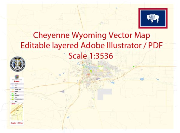
Cheyenne, Wyoming, the capital and largest city of the state, has a rich history closely tied to the development of the American West. The city’s history can be traced back to the mid-19th century when it was established as a transportation hub and later became the capital of the Wyoming Territory in 1869. The history of Cheyenne’s road system is closely linked to the city’s growth and economic development.
Vectormap.Net provide you with the most accurate and up-to-date vector maps in Adobe Illustrator, PDF and other formats, designed for editing and printing. Please read the vector map descriptions carefully.
Early History:
- Establishment and Growth (1867-1880): Cheyenne was founded in 1867 during the construction of the Union Pacific Railroad. It quickly grew as a vital railway town and served as a supply depot for the railroad workers. The city’s road system initially developed to support the transportation of goods and people associated with the railroad.
- Becoming the Capital (1869): In 1869, Cheyenne was designated as the capital of the newly created Wyoming Territory. This increased the importance of the city, leading to further developments in its infrastructure, including roads.
Late 19th to Early 20th Century:
- Economic Growth and Road Development: As Cheyenne continued to grow, its economy diversified beyond the railroad industry. The city became a center for cattle ranching, agriculture, and trade. This expansion necessitated the development and improvement of the road system to facilitate the movement of goods and people.
- Automobile Era (Early 20th Century): The advent of automobiles in the early 20th century brought about significant changes to Cheyenne’s road system. The city’s streets were adapted for motorized vehicles, and the need for paved roads increased.
Mid-20th Century:
- Post-World War II Development: After World War II, Cheyenne experienced post-war economic growth. This period saw further expansion and modernization of the road network to accommodate the increasing population and the rise of suburban areas.
Late 20th Century to Present:
- Interstate Highways: The construction of the Interstate Highway System had a profound impact on Cheyenne’s road infrastructure. Interstates 25 and 80 intersect near the city, enhancing its connectivity and making it a crucial transportation hub.
- Urban Planning and Growth: Cheyenne has undergone various urban planning initiatives to manage its growth effectively. The road system has been continually updated and expanded to address the needs of a growing population.
- Infrastructure Maintenance: Like many cities, Cheyenne focuses on the maintenance and improvement of its road infrastructure. This includes repairing and repaving roads, updating traffic management systems, and ensuring the safety and efficiency of transportation within the city.
Conclusion:
Cheyenne, Wyoming, has a history deeply intertwined with the development of the American West and the expansion of transportation networks. From its roots as a railroad town to its current status as the capital of Wyoming, Cheyenne’s road system has evolved to meet the changing needs of its residents and businesses, reflecting the broader historical and economic developments in the region.


 Author: Kirill Shrayber, Ph.D. FRGS