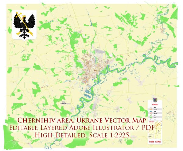
Some general information about Chernihiv, Ukraine, including its economic and transport connections.
Vectormap.Net provide you with the most accurate and up-to-date vector maps in Adobe Illustrator, PDF and other formats, designed for editing and printing. Please read the vector map descriptions carefully.
Economic Overview:
1. Key Industries:
- Chernihiv, located in northern Ukraine, has a diverse economy with various industries contributing to its economic growth.
- Key sectors include agriculture, food processing, manufacturing, and services.
2. Agriculture:
- The region is known for its fertile soils, making agriculture a significant economic activity.
- Crops such as wheat, barley, corn, and sunflower are commonly cultivated.
3. Manufacturing:
- The city has manufacturing facilities that produce machinery, chemicals, and consumer goods.
4. Services:
- The service sector plays a vital role in the city’s economy, encompassing retail, education, healthcare, and other services.
Transport Connections:
1. Roads:
- Chernihiv is connected to the Ukrainian road network, allowing for the transportation of goods and people by road.
- Major roads link Chernihiv to Kyiv and other cities in the region.
2. Railways:
- The city is served by a railway network, providing freight and passenger transportation.
- Rail connections facilitate the movement of goods to and from Chernihiv and connect it to broader rail networks.
3. Air Transport:
- Chernihiv does not have its own commercial airport. The nearest major airport is likely to be Boryspil International Airport in Kyiv, which is well-connected internationally.
- Domestic flights may be accessible through smaller regional airports.
4. Waterways:
- While Chernihiv is not directly on a major river, Ukraine has an extensive network of rivers and canals. These waterways contribute to the country’s transportation system.
5. Public Transportation:
- Within the city, there is a local public transportation system, including buses and possibly trolleybuses.
Future Developments:
1. Infrastructure Investments:
- Ukraine, like many countries, may have ongoing infrastructure projects aimed at improving transportation and connectivity.
2. Economic Trends:
- Economic developments and trends are subject to change. It’s advisable to check more recent sources for the latest information on Chernihiv’s economic and transport situation.
Conclusion:
Chernihiv, Ukraine, has a diverse economy with agriculture, manufacturing, and services playing significant roles. Its transport connections include roads, railways, and nearby airports, facilitating the movement of goods and people. As with any region, economic and transport dynamics may evolve, and staying updated with recent information is recommended for a comprehensive understanding.


 Author: Kirill Shrayber, Ph.D.