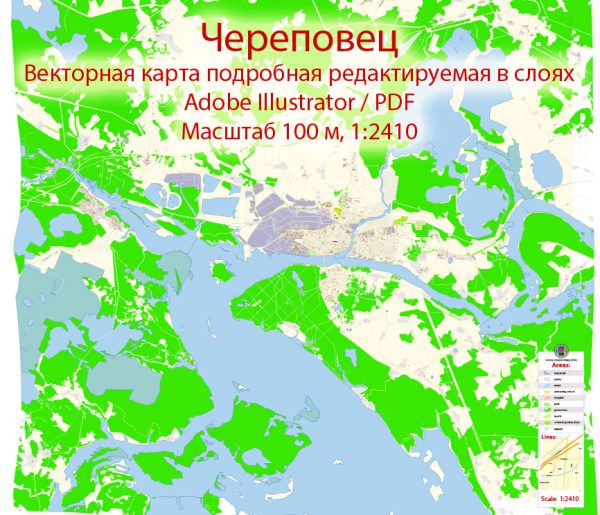
Some general information about Cherepovets, Russia.
Vectormap.Net provide you with the most accurate and up-to-date vector maps in Adobe Illustrator, PDF and other formats, designed for editing and printing. Please read the vector map descriptions carefully.
Economic Overview:
1. Industrial Base:
- Cherepovets is an industrial city located in the Vologda Oblast of Russia. It is known for its large metallurgical complex, the Cherepovets Steel Mill (Severstal), which is one of the largest steel production facilities in Russia. The steel industry plays a crucial role in the city’s economy.
2. Other Industries:
- Besides the steel industry, Cherepovets has a diverse industrial base, including chemical production, machine-building, and food processing.
3. Employment:
- The industrial complexes in Cherepovets are major employers, providing jobs to a significant portion of the local population.
Transport Connections:
1. Railway:
- Cherepovets is well-connected by rail, with a railway station serving as a crucial transportation hub. The railway network facilitates the transportation of goods to and from the city’s industrial facilities.
2. Roads:
- The city is connected by a network of roads, including federal highways, making it accessible by car and truck transportation. The road infrastructure supports the movement of goods and people within the city and to other regions.
3. River Transport:
- Cherepovets is located on the Sheksna River, which is part of the Volga-Baltic Waterway. This waterway connects the Volga River with the Baltic Sea, providing a means for transporting goods via inland water transport.
4. Airport:
- Cherepovets Airport (Dzerzhinskoye Airport) serves the city, providing air transport connections. However, it’s important to note that regional airports might have limited international flight options.
5. Port Facilities:
- The Sheksna River, with its connection to the Volga-Baltic Waterway, allows for the transportation of goods by river vessels, contributing to the overall transport infrastructure of Cherepovets.
Future Developments:
1. Infrastructure Investments:
- Like many cities, Cherepovets may have ongoing or planned infrastructure projects to enhance transportation and economic facilities. These projects could include road upgrades, railway expansions, or improvements to the port facilities.
2. Economic Diversification:
- There might be efforts to diversify the economy beyond heavy industry, exploring opportunities in technology, services, and other sectors to ensure sustainable economic development.
To get the most current and detailed information on Cherepovets’ economic and transport connections, it is recommended to consult recent local government reports, business news, or official city websites.


 Author: Kirill Shrayber, Ph.D.