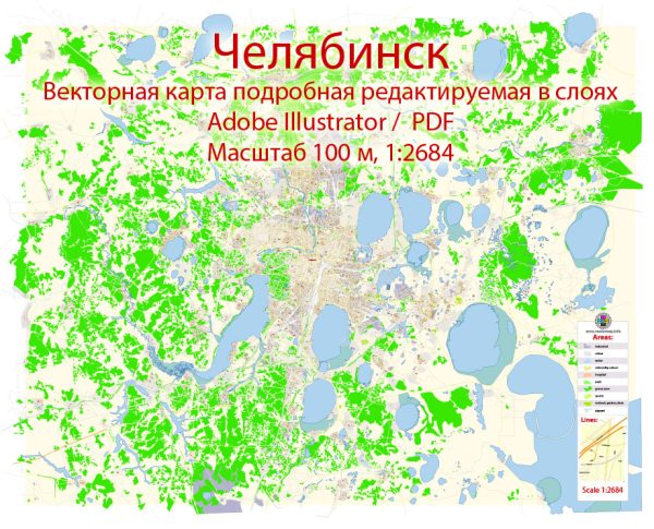
A general overview of the economic and transport connections in Chelyabinsk, Russia.
Vectormap.Net provide you with the most accurate and up-to-date vector maps in Adobe Illustrator, PDF and other formats, designed for editing and printing. Please read the vector map descriptions carefully.
Economic Overview: Chelyabinsk is a major industrial and economic center located in the Ural Mountains region of Russia. Historically known for its heavy industry, the city has a diverse economic base that includes metallurgy, machine building, chemical production, and manufacturing. The following key sectors contribute significantly to Chelyabinsk’s economy:
- Metallurgy: Chelyabinsk is renowned for its metallurgical industry, particularly steel production. The Chelyabinsk Metallurgical Plant (ChMK) is one of the largest steel producers in Russia and plays a crucial role in the city’s economic landscape.
- Machine Building: The city has a strong machine-building sector, producing machinery and equipment for various industries, including mining, construction, and agriculture.
- Chemical Industry: Chelyabinsk is home to chemical plants producing a range of chemical products, contributing to the region’s chemical industry.
- Manufacturing: The city has diverse manufacturing activities, including the production of consumer goods and industrial products.
Transport Connections: Chelyabinsk is strategically located with well-developed transport infrastructure, facilitating regional and international connectivity. The city’s transport connections include:
- Railways: Chelyabinsk is a major railway hub, with multiple railway lines converging in the city. The Trans-Siberian Railway passes through Chelyabinsk, providing crucial connectivity to other regions in Russia and beyond.
- Roadways: The city is well-connected by road with an extensive network of highways and roads. The M5 and M36 federal highways pass through Chelyabinsk, connecting it to other major cities in Russia.
- Air Transport: Chelyabinsk is served by the Chelyabinsk International Airport (Balandino Airport), which handles both domestic and international flights. The airport contributes to the city’s accessibility and facilitates trade and travel.
- Waterways: Although Chelyabinsk is not located near major water bodies, the city is connected to inland waterways, contributing to its transportation network.
- Public Transportation: Chelyabinsk has a well-developed public transportation system, including buses, trams, and trolleybuses, providing convenient intra-city transport for residents and visitors.
It’s important to verify this information with up-to-date sources, as economic and transport landscapes can change over time. For the latest and most accurate information, you may want to consult local government reports, transportation authorities, and economic development agencies.


 Author: Kirill Shrayber, Ph.D. FRGS