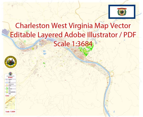
A general overview of the economic and transportation aspects of Charleston, West Virginia.
Vectormap.Net provide you with the most accurate and up-to-date vector maps in Adobe Illustrator, PDF and other formats, designed for editing and printing. Please read the vector map descriptions carefully.
Economic Overview: Charleston, the capital and largest city of West Virginia, has a diverse economy with contributions from various sectors. Key components of the local economy include government, healthcare, education, manufacturing, and natural resources.
- Government and Services: As the state capital, Charleston is a hub for government activities, hosting state government offices and agencies. This contributes significantly to the city’s economy through employment and services.
- Healthcare and Education: The healthcare and education sectors play vital roles. Charleston has several hospitals, healthcare facilities, and educational institutions that contribute to the economy. The presence of universities and research centers also adds to the intellectual and economic vibrancy.
- Manufacturing: Manufacturing has historically been important to Charleston’s economy. Industries like chemical manufacturing, steel production, and other heavy manufacturing activities have contributed to the city’s economic base.
- Natural Resources: West Virginia has a rich history in coal mining, and while the industry has faced challenges, it still plays a role in the state’s economy. Other natural resources, such as natural gas and timber, also contribute to economic activities.
Transportation: Charleston’s transportation infrastructure is crucial for both local and regional connectivity.
- Roads and Highways: Charleston is well-connected by roads and highways, including I-64 and I-77, which intersect near the city. These provide efficient transportation links to other parts of West Virginia and neighboring states.
- Air Transportation: Yeager Airport serves Charleston, providing domestic flights and facilitating air travel for the region. It is named after Chuck Yeager, the legendary aviator who was born in West Virginia.
- Rail Transportation: While rail transportation isn’t as prominent as it once was, there are still railroads serving Charleston, facilitating the transportation of goods.
- River Transportation: The Kanawha River, flowing through Charleston, historically played a significant role in transportation. While not as widely used for shipping as in the past, the river remains a part of the city’s transportation network.
- Public Transportation: Charleston has a public bus system that provides transportation within the city and nearby areas.
Please verify this information with more recent sources, as economic and transportation landscapes can evolve over time.


 Author: Kirill Shrayber, Ph.D.