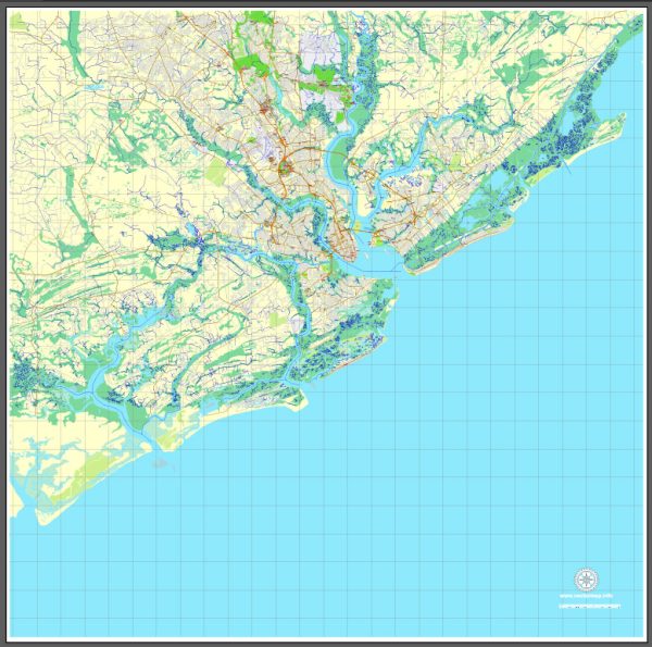
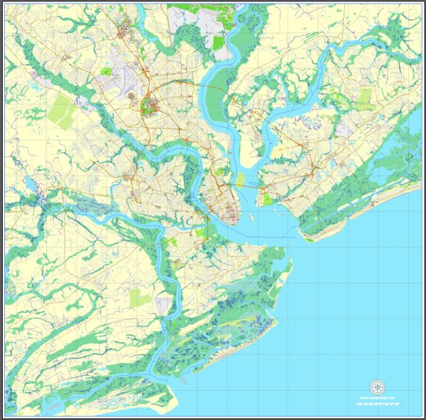
A general overview of the transportation infrastructure in Charleston, South Carolina.
Vectormap.Net provide you with the most accurate and up-to-date vector maps in Adobe Illustrator, PDF and other formats, designed for editing and printing. Please read the vector map descriptions carefully.
- Roads and Highways:
- Interstate Highways: Charleston is served by I-26, which connects the city to other major cities like Columbia and Greenville to the northwest and to Charleston International Airport.
- US Highways: US Highway 17 runs through Charleston, providing a major north-south route along the Atlantic Coast.
- State Highways: Various state highways serve the region, facilitating local and regional connectivity.
- Bridges and Tunnels:
- Arthur Ravenel Jr. Bridge: This cable-stayed bridge spans the Cooper River, connecting downtown Charleston with Mount Pleasant. It is a prominent landmark and a crucial transportation link.
- Public Transportation:
- Bus Services: Charleston Area Regional Transportation Authority (CARTA) operates bus services in the region, providing public transportation within the city and to some neighboring areas.
- Shuttle Services: Downtown Charleston has free DASH shuttles that circulate through popular areas, offering convenient transportation for residents and visitors.
- Rail Transportation:
- Amtrak: Amtrak’s Silver Meteor and Palmetto lines serve North Charleston, providing passenger rail services connecting Charleston with cities like New York and Miami.
- Freight Rail: Railways are used for freight transportation, with various industrial areas and ports connected to the rail network.
- Air Transportation:
- Charleston International Airport (CHS): Located in North Charleston, CHS serves as the primary airport for the region, providing domestic and some international flights. It is well-connected and plays a vital role in the city’s transportation infrastructure.
- Ports and Waterways:
- Port of Charleston: One of the busiest ports on the East Coast, the Port of Charleston facilitates significant cargo movement. It has container terminals, cargo terminals, and cruise terminals.
- Cycling and Pedestrian Infrastructure:
- Charleston has been working on enhancing cycling and pedestrian infrastructure, with the creation of bike lanes, walkways, and pedestrian-friendly areas in downtown and other neighborhoods.
- Future Developments:
- There have been ongoing discussions and plans for improving transportation infrastructure, including road expansions, public transportation enhancements, and the development of alternative transportation options.
Please note that infrastructure developments can change over time, so it’s advisable to check for the latest information from local authorities or transportation agencies for the most up-to-date details on Charleston’s transportation infrastructure.


 Author: Kirill Shrayber, Ph.D. FRGS