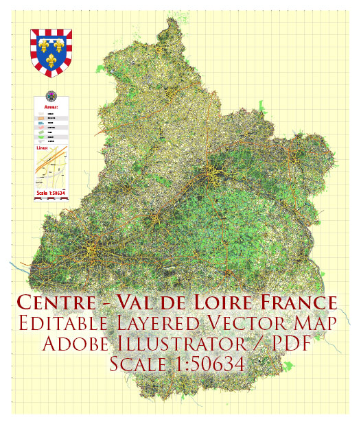
The history of railroads and road systems in the Centre-Val de Loire region of France is closely linked to the broader development of transportation infrastructure in the country.
Vectormap.Net provide you with the most accurate and up-to-date vector maps in Adobe Illustrator, PDF and other formats, designed for editing and printing. Please read the vector map descriptions carefully.
Here’s a detailed overview:
Railroads:
- Early Railways (19th Century): The advent of railroads in France dates back to the 19th century. The first railway line in the Centre-Val de Loire region was constructed during this period, connecting major cities and facilitating the transportation of goods and passengers.
- Expansion and Industrialization (Late 19th to Early 20th Century): The late 19th and early 20th centuries saw the expansion of the railway network in the region, driven by industrialization and economic growth. Railways played a crucial role in transporting raw materials to factories and finished products to markets.
- World Wars Impact: The two World Wars had a significant impact on the railway system. During both conflicts, railroads were crucial for the mobilization of troops and the transportation of war materials. The railway infrastructure, however, suffered damage during the wars and required reconstruction and modernization in the post-war period.
- Post-War Modernization: After World War II, the French railway system underwent modernization efforts. Electrification of rail lines and the introduction of high-speed trains (TGV) in the later decades enhanced the efficiency and speed of transportation.
- Current State: Today, the Centre-Val de Loire region is well-connected by a network of railways. The SNCF (Société Nationale des Chemins de fer Français), the French national railway company, operates various train services, including high-speed trains, connecting cities within the region and to other parts of France.
Road Systems:
- Historical Roads: The road system in Centre-Val de Loire has ancient roots, with historical routes and highways connecting key towns and cities. Some of these routes were established during the Roman period.
- Medieval and Renaissance Periods: The Middle Ages and the Renaissance saw the maintenance and improvement of existing roads, which were vital for trade, communication, and the movement of people.
- 18th and 19th Centuries: The 18th and 19th centuries witnessed further developments in road infrastructure, with improved road surfaces and the construction of bridges. Roads played a crucial role in economic development and regional connectivity.
- 20th Century: The advent of automobiles in the 20th century led to the modernization and expansion of road networks. The development of highways and national roads facilitated faster and more efficient transportation.
- Current State: Today, the road system in Centre-Val de Loire is well-developed, with a network of highways, national roads, and local roads connecting urban centers, rural areas, and tourist destinations. The road network complements the railway system, providing comprehensive transportation options for residents and visitors alike.
In summary, the history of railroads and road systems in Centre-Val de Loire reflects the broader trends in French transportation infrastructure, spanning centuries of development and adaptation to the changing needs of society and the economy.


 Author: Kirill Shrayber, Ph.D.