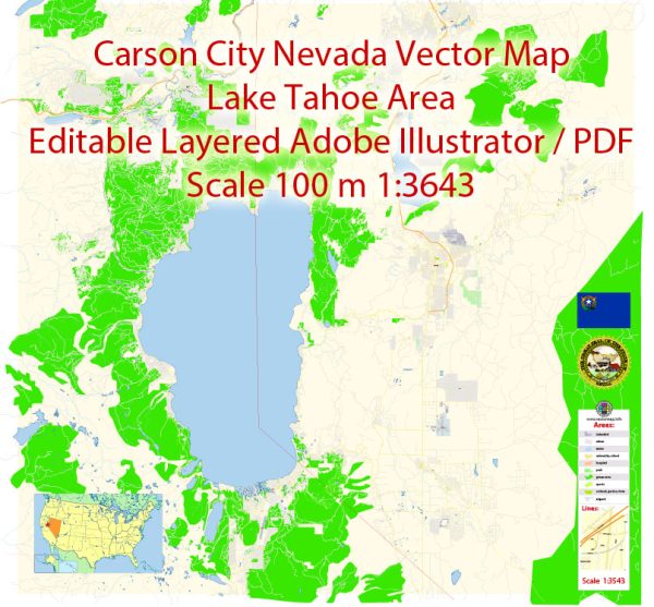
A general overview of the transportation infrastructure in Carson City, Nevada.
Vectormap.Net provide you with the most accurate and up-to-date vector maps in Adobe Illustrator, PDF and other formats, designed for editing and printing. Please read the vector map descriptions carefully.
- Roads and Highways: Carson City is well-connected by a network of roads and highways. Key routes include:
- Interstate 580 (I-580): This interstate connects Carson City to Reno to the north and continues south into Nevada. It serves as a major transportation corridor in the region.
- U.S. Route 395: Running through the western part of the city, this route is a significant north-south highway.
- Public Transit:
- Carson City JAC (Jump Around Carson): The public transit system in Carson City provides bus services to residents and visitors. JAC operates several routes covering different parts of the city.
- Airports:
- Carson Airport (CXP): This general aviation airport serves the Carson City area. It is primarily used for private and recreational flying.
- Railroads:
- While Carson City does not have its own major rail lines, the state of Nevada has a network of freight railroads that connect various cities. The nearest major rail hub is likely to be in Reno.
- Biking and Walking:
- Carson City has been working on improving its pedestrian and cycling infrastructure. There are efforts to create safer routes for walking and biking, including dedicated paths and trails.
- Carson City Freeway:
- The Carson City Freeway (U.S. Route 395 Bypass) is a significant infrastructure project aimed at improving transportation in the area. Once complete, it will provide a more direct route for through traffic and help alleviate congestion in the city.
- Future Developments:
- Ongoing and future developments may impact Carson City’s transportation infrastructure. It’s advisable to check with local authorities or official websites for the latest information on projects, expansions, or improvements.


 Author: Kirill Shrayber, Ph.D. FRGS