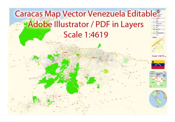
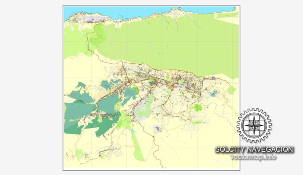
Caracas, the capital city of Venezuela, has a rich history that dates back to its founding in 1567 by Diego de Losada. The city has undergone significant changes over the centuries, and its road system has evolved to accommodate the growing population and urbanization.
Vectormap.Net provide you with the most accurate and up-to-date vector maps in Adobe Illustrator, PDF and other formats, designed for editing and printing. Please read the vector map descriptions carefully.
Historical Overview:
- Colonial Era (1567-1810): Caracas was initially established as a Spanish colonial city. During this period, the city’s layout was influenced by traditional Spanish urban planning, with a central square (Plaza Bolívar) and a grid pattern of streets radiating from the center. The city served as an important administrative and economic center for the Spanish colonial authorities.
- Independence and 19th Century: Caracas played a crucial role in the Venezuelan War of Independence (1810-1823), led by figures like Simón Bolívar. After gaining independence from Spanish rule, the city continued to grow and modernize. The 19th century saw the development of infrastructure, including the construction of roads to connect Caracas with other regions.
- 20th Century: The 20th century brought significant urbanization and population growth to Caracas. The oil boom in Venezuela during the mid-20th century further accelerated the city’s development. The population influx led to the expansion of the urban area and increased demand for transportation infrastructure.
- Contemporary Era: In recent decades, Caracas has faced various challenges, including economic and political instability. This has impacted the city’s infrastructure and public services, including its road system.
Road System:
- Highways and Arterial Roads: Caracas is connected to other parts of the country through a network of highways and arterial roads. Major roads link the city to important regions and neighboring cities. The Autopista Regional del Centro (Central Regional Highway) is a crucial transportation corridor connecting Caracas with Valencia and other cities in the central region.
- Ring Roads: The city has several ring roads, such as the Caracas-La Guaira Highway, which connects Caracas to the coastal town of La Guaira. These roads play a vital role in facilitating the movement of goods and people in and out of the city.
- Public Transportation: Caracas has a public transportation system that includes buses and the Caracas Metro. The metro system, inaugurated in 1983, provides an efficient means of transportation within the city, helping to alleviate traffic congestion.
- Traffic Challenges: The city has faced significant traffic challenges due to rapid urbanization, population growth, and economic fluctuations. Traffic congestion has been a persistent issue, and efforts to improve public transportation and road infrastructure have been ongoing.
In summary, Caracas, with its historical significance and evolving urban landscape, has a road system that reflects its colonial roots, historical developments, and contemporary challenges. The city continues to adapt and invest in infrastructure to meet the transportation needs of its population.


 Author: Kirill Shrayber, Ph.D. FRGS