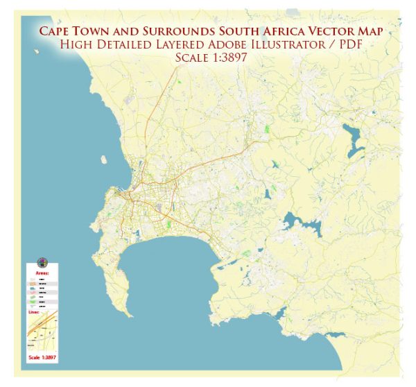
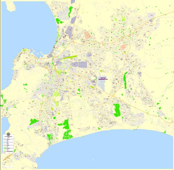
The history of the railroads and road systems in Cape Town, South Africa, is intertwined with the broader historical development of transportation infrastructure in the region.
Vectormap.Net provide you with the most accurate and up-to-date vector maps in Adobe Illustrator, PDF and other formats, designed for editing and printing. Please read the vector map descriptions carefully.
Here is a detailed overview:
Railroads:
- Early Developments (19th Century):
- The origins of the railroad system in Cape Town can be traced back to the 19th century when British colonial authorities recognized the need for improved transportation to support economic activities.
- The first railway line in South Africa was inaugurated in Durban in 1860, but it wasn’t until 1862 that Cape Town saw its first railway connection with the opening of the line to Wellington.
- The expansion of the rail network was primarily driven by economic factors, including the need to transport goods, particularly minerals and agricultural products, from the interior to the coast for export.
- Cape Government Railways (CGR):
- The Cape Government Railways (CGR) played a significant role in the expansion of the rail network. The CGR was established in 1872 and was responsible for managing and expanding the railway infrastructure in the Cape Colony.
- The rail lines extended from Cape Town to key interior regions, including Worcester, Beaufort West, and Kimberley, facilitating trade and transportation.
- Union of South Africa (1910):
- Following the formation of the Union of South Africa in 1910, efforts were made to standardize railway operations and integrate the rail networks of different colonies. This led to the establishment of the South African Railways (SAR) in 1910.
- Apartheid Era (20th Century):
- During the apartheid era, rail infrastructure was expanded but was often segregated. Different rail lines and facilities were designated for different racial groups.
- The rail system continued to be a crucial component of the transportation network, supporting industrial development and the movement of goods and people.
- Post-Apartheid Period:
- In the post-apartheid era, efforts were made to address historical inequalities in transportation infrastructure. There were investments in upgrading rail systems, improving efficiency, and ensuring greater inclusivity.
- Modernization and Integration:
- Ongoing efforts focus on modernizing rail infrastructure, increasing efficiency, and integrating different modes of transportation to create a more comprehensive and sustainable transportation network.
Road System:
- Early Roads and Trails:
- Before the development of formal roads, indigenous peoples and early settlers used existing trails and tracks for transportation.
- The Dutch and British colonial authorities worked on improving these routes to facilitate trade and communication.
- Cape Town’s Street Grid (17th Century):
- Cape Town itself was established in the 17th century, and the city’s street grid was developed to enhance accessibility within the settlement.
- As the city grew, so did the need for more organized and improved roadways.
- Infrastructure Development (19th Century):
- With the expansion of trade and the arrival of more settlers, there was a push for better road infrastructure connecting Cape Town to surrounding areas and the interior.
- The construction of toll roads was one approach to financing road development during this period.
- Motorization (20th Century):
- The 20th century saw the rise of motorized transportation, leading to the construction of more paved roads to accommodate automobiles and buses.
- The road network became increasingly vital for both urban and interurban travel.
- Modern Road Network:
- Today, Cape Town boasts a modern road network with highways, expressways, and well-maintained urban roads.
- Efforts are ongoing to improve road safety, reduce congestion, and address urban planning challenges associated with transportation.
In summary, the history of railroads and roads in Cape Town reflects the broader trends in transportation development, from the early days of colonial expansion to the modernization efforts in the post-apartheid era. The ongoing focus is on creating an integrated and efficient transportation system to support the region’s economic and social needs.


 Author: Kirill Shrayber, Ph.D.