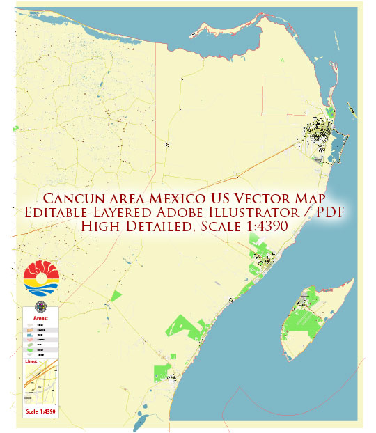
Cancun, Mexico, is a popular tourist destination known for its beautiful beaches, vibrant nightlife, and archaeological sites. The city’s economic and transport connections play a crucial role in supporting its tourism industry and overall development.
Vectormap.Net provide you with the most accurate and up-to-date vector maps in Adobe Illustrator, PDF and other formats, designed for editing and printing. Please read the vector map descriptions carefully.
Economic Overview:
- Tourism:
- Primary Industry: Tourism is the primary economic driver in Cancun. The city attracts millions of international and domestic tourists annually, contributing significantly to its economy.
- Hotel Industry: Cancun is home to a wide range of hotels, resorts, and other accommodations, providing various options for tourists.
- Infrastructure Development:
- Investments: The local government and private sector have made substantial investments in infrastructure, including roads, airports, and utilities, to support the growing tourism industry.
- Business Environment: Apart from tourism, there has been an effort to diversify the economy by encouraging business and investment in other sectors.
- Trade and Commerce:
- Commercial Activities: The city has a range of shopping centers, markets, and local businesses catering to both residents and tourists.
- Free Trade Zone: Mexico has free trade agreements with numerous countries, facilitating international trade and business activities.
Transport Connections:
- Cancun International Airport:
- Major Hub: Cancun International Airport is one of the busiest airports in Mexico and serves as a major international gateway to the Yucatan Peninsula.
- Connectivity: The airport has numerous direct flights to major cities in North America, Europe, and other parts of the world.
- Road Infrastructure:
- Highways: Well-developed road networks connect Cancun to other parts of the Yucatan Peninsula and Mexico. The Cancun-Mérida highway, for example, provides a vital link between the two cities.
- Public Transportation: The city has a public transportation system, including buses, taxis, and rental cars.
- Ports:
- Maritime Connectivity: While not primarily a port city, Cancun has maritime connections through nearby ports for cargo transport and cruise ship arrivals.
- Public Transportation:
- Buses: Public buses are a common mode of transportation within the city and to nearby areas.
- Taxis and Ride-Sharing: Taxis and ride-sharing services are readily available for convenient local transport.
- Infrastructure Investments:
- Ongoing Projects: The government continually invests in infrastructure projects to improve transportation, including road upgrades and expansions.


 Author: Kirill Shrayber, Ph.D. FRGS