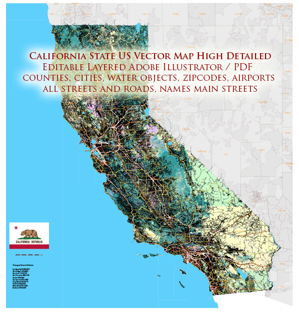
A general overview of the economic and transportation landscape in the state of California.
Vectormap.Net provide you with the most accurate and up-to-date vector maps in Adobe Illustrator, PDF and other formats, designed for editing and printing. Please read the vector map descriptions carefully.
Economic Overview:
California has one of the largest and most diverse economies in the United States and the world. The state is a major hub for technology, entertainment, agriculture, and various other industries. Here are some key features of California’s economy:
- Technology and Innovation: Silicon Valley, located in the southern part of the San Francisco Bay Area, is a global center for technology and innovation. Many of the world’s leading technology companies, including Apple, Google, and Facebook, have their headquarters in the region.
- Entertainment Industry: Hollywood, situated in Los Angeles, is the global center of the entertainment industry. The state is home to numerous film studios, production companies, and entertainment professionals.
- Agriculture: California is a major agricultural producer, leading in the production of fruits, vegetables, nuts, and dairy products. The Central Valley is particularly known for its fertile soil and extensive farming activities.
- Trade and Tourism: The state has several major ports, including the Port of Los Angeles and the Port of Long Beach, which are critical for international trade. Tourism is also a significant contributor to the economy, with attractions like Disneyland, Yosemite National Park, and the Pacific coastline drawing visitors from around the world.
- Renewable Energy: California is a leader in the development and use of renewable energy. The state has implemented ambitious goals for reducing greenhouse gas emissions and increasing the use of clean energy sources.
Transportation Overview:
California has a vast and complex transportation infrastructure that includes highways, railways, airports, and ports. The state’s geography, population density, and economic activities necessitate a well-developed transportation network. Here are key components of California’s transportation system:
- Highways: The state has an extensive network of highways and freeways, including iconic routes like the Pacific Coast Highway (Highway 1) and Interstate 5, which runs from the Mexican border to the Oregon border.
- Railways: Amtrak provides passenger rail services in California, connecting major cities. Additionally, freight railroads play a crucial role in transporting goods within the state.
- Airports: California is served by numerous airports, with major international airports in cities like Los Angeles, San Francisco, and San Diego. These airports facilitate both domestic and international travel.
- Ports: The ports of Los Angeles and Long Beach are among the busiest in the United States, handling a significant portion of the nation’s imports and exports. They are crucial hubs for international trade.
- Public Transportation: Several cities in California have extensive public transportation systems, including buses and light rail. The Bay Area Rapid Transit (BART) system serves the San Francisco Bay Area, while the Los Angeles Metro provides transit options in Southern California.
It’s important to check for updates or changes in California’s economic and transportation landscape, as these sectors can evolve over time due to various factors.


 Author: Kirill Shrayber, Ph.D.