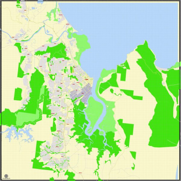
Cairns, located in the state of Queensland, Australia, has a well-developed transportation infrastructure to support its role as a major regional center and tourist destination.
Vectormap.Net provide you with the most accurate and up-to-date vector maps in Adobe Illustrator, PDF and other formats, designed for editing and printing. Please read the vector map descriptions carefully.
Here is a detailed overview of the transportation infrastructure in Cairns:
- Cairns International Airport (CNS):
- Air Travel: Cairns International Airport is a major gateway to the region. It serves domestic and international flights, connecting the city to various destinations around the world. The airport has both domestic and international terminals, handling millions of passengers annually.
- Public Transportation:
- Buses: Cairns has a comprehensive bus network operated by TransLink, providing public transportation within the city and its suburbs. Buses are a popular mode of transportation for both locals and tourists.
- Sunbus: Sunbus is the primary bus operator in the Cairns region. It operates services throughout the city and extends to the surrounding areas.
- Rail Transportation:
- Cairns Railway Station: Cairns is connected to other parts of Queensland by rail. The Cairns Railway Station is the main railway station, offering services like the Kuranda Scenic Railway, which provides a picturesque journey through the rainforest to the nearby town of Kuranda.
- Road Infrastructure:
- Road Network: Cairns has a well-developed road network, facilitating easy movement within the city and connecting it to other regions. Major highways like the Bruce Highway provide essential links to nearby towns and cities.
- Cairns Esplanade: The Cairns Esplanade is a scenic coastal road that runs along the waterfront, offering not only a transportation route but also a popular area for recreational activities.
- Port Facilities:
- Cairns Seaport: The Cairns Seaport is an important gateway for maritime transport, serving both cargo and passenger vessels. It plays a crucial role in supporting the region’s economy and tourism.
- Taxis and Ride-Sharing:
- Taxi Services: Taxis are readily available in Cairns, providing an additional mode of transportation for residents and visitors.
- Ride-Sharing: Ride-sharing services like Uber operate in Cairns, offering an alternative to traditional taxis.
- Cycling and Pedestrian Infrastructure:
- Bike Paths and Walkways: Cairns has dedicated bike paths and walkways, especially along the esplanade and in green spaces, promoting cycling and walking as sustainable transportation options.
- Car Rentals:
- Rental Services: Car rental companies operate in Cairns, providing options for individuals who prefer the flexibility of having their own vehicles.
It’s worth noting that Cairns’ transportation infrastructure is designed to accommodate the needs of both residents and the significant number of tourists who visit the region for its natural attractions, including the Great Barrier Reef and the surrounding rainforests. For the most current and detailed information, it’s recommended to check with local transportation authorities or official websites.


 Author: Kirill Shrayber, Ph.D. FRGS