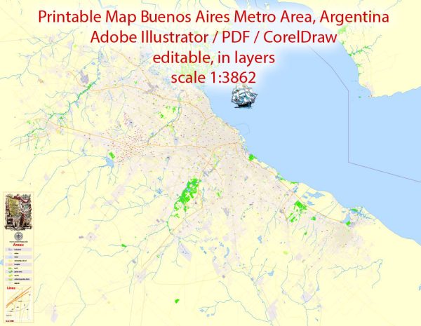
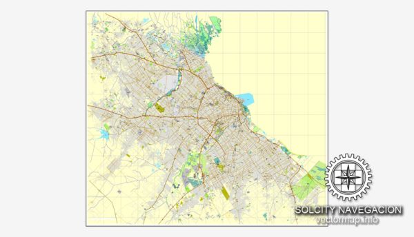
Buenos Aires, the capital and largest city of Argentina, has a well-developed transportation infrastructure that includes various modes of transportation to serve its extensive urban and suburban areas.
Vectormap.Net provide you with the most accurate and up-to-date vector maps in Adobe Illustrator, PDF and other formats, designed for editing and printing. Please read the vector map descriptions carefully.
- Public Transportation:
- Subway (Subte): Buenos Aires has an extensive subway system, known as the Subte, which is one of the oldest in the world. As of my last update, there are six lines (A, B, C, D, E, and H) covering various parts of the city, and plans for additional expansions have been in place.
- Buses (Colectivos): The city has an extensive bus network with numerous lines covering almost every part of the city and its suburbs. The buses are a crucial mode of transport for many residents.
- Commuter Trains:
- Buenos Aires has an extensive network of commuter trains operated by several companies. These trains connect the city with its suburbs and neighboring provinces. Key train stations include Retiro, Constitución, and Once.
- Bicycle Infrastructure:
- In recent years, Buenos Aires has made efforts to improve its bicycle infrastructure. There are bike lanes and bike-sharing programs, such as Ecobici, which provide residents and visitors with an alternative and environmentally friendly means of transportation.
- Taxis and Ride-Sharing:
- Taxis are widely available throughout the city, providing a convenient option for transportation. Additionally, ride-sharing services like Uber operate in Buenos Aires.
- Road Network:
- Buenos Aires has an extensive road network with well-maintained streets and avenues. However, traffic congestion can be an issue during peak hours.
- Airports:
- The city is served by several airports, with Ministro Pistarini International Airport (also known as Ezeiza) being the primary international airport. Aeroparque Jorge Newbery handles domestic and some regional flights.
- Ports:
- Buenos Aires has a significant port on the Rio de la Plata, facilitating maritime transportation and trade.
- Car Rental Services:
- Car rental services are available for those who prefer the flexibility of driving themselves.
- Pedestrian Areas:
- There are pedestrian-friendly areas, such as Avenida Florida and parts of San Telmo, where walking is a popular mode of transportation.
The city is continually working on improving and expanding its transportation infrastructure to meet the growing needs of its population. It’s recommended to check for updates from local sources for the latest information on Buenos Aires’ transportation system.


 Author: Kirill Shrayber, Ph.D. FRGS