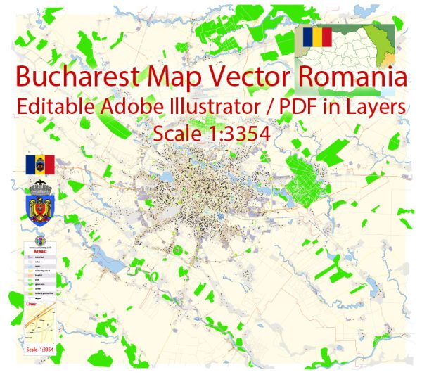
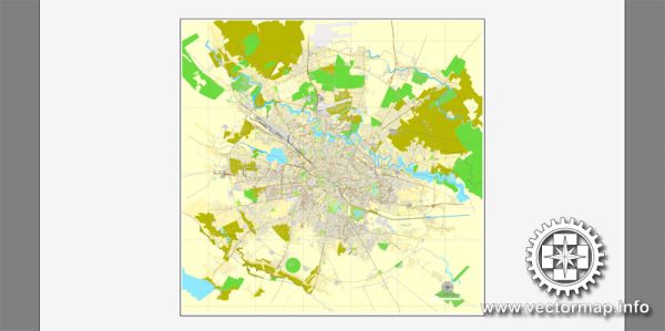
Some information about the transportation infrastructure in Bucharest, Romania.
Vectormap.Net provide you with the most accurate and up-to-date vector maps in Adobe Illustrator, PDF and other formats, designed for editing and printing. Please read the vector map descriptions carefully.
However, please note that there may have been changes or developments since then.
- Road Network:
- Roads and Highways: Bucharest has a well-developed road network, including major highways and arterial roads. The A1 and A2 highways connect the city to other major cities in Romania.
- Boulevards: The city is known for its wide boulevards, with some of the most prominent ones being Victory Avenue (Calea Victoriei) and Magheru Boulevard.
- Public Transportation:
- Metro: The Bucharest Metro is a popular means of public transportation with four lines (M1, M2, M3, M4). It connects various parts of the city, including the outskirts, and is known for its efficiency.
- Buses and Trolleybuses: A comprehensive bus and trolleybus network covers the entire city, providing convenient transportation options. RATB (Regia Autonomă de Transport București) operates the majority of these services.
- Trams: Bucharest also has an extensive tram network, although in recent years, some tram lines have been replaced by buses.
- Rail Transportation:
- Main Train Stations: Bucharest has two major train stations, Gara de Nord (North Railway Station) and Gara București Basarab (Basarab Railway Station). Gara de Nord is the main hub for domestic and international train services.
- Rail Connections: The railway network connects Bucharest with various cities and regions in Romania and neighboring countries.
- Air Transportation:
- Henri Coandă International Airport: Located about 16 km north of Bucharest, this is the main international airport serving the city. It handles both domestic and international flights.
- Cycling Infrastructure:
- Bike Lanes: Bucharest has been working on improving its cycling infrastructure, including the development of dedicated bike lanes and bike-sharing programs.
- Traffic and Congestion:
- Traffic Challenges: Like many capital cities, Bucharest faces traffic congestion, especially during peak hours. Efforts are being made to improve traffic management and invest in infrastructure projects to alleviate these issues.
- Future Developments:
- Infrastructure Projects: The city has ongoing and planned infrastructure projects to enhance its transportation system. These may include road expansions, metro line extensions, and other initiatives aimed at improving connectivity.
To get the most up-to-date information on the transportation infrastructure in Bucharest, I recommend checking with local authorities, transportation agencies, or reliable news sources for any recent developments or changes.


 Author: Kirill Shrayber, Ph.D. FRGS