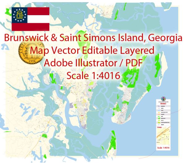
Brunswick and St. Simons Islands are located in the state of Georgia, USA, and are known for their rich history, natural beauty, and economic significance.
Vectormap.Net provide you with the most accurate and up-to-date vector maps in Adobe Illustrator, PDF and other formats, designed for editing and printing. Please read the vector map descriptions carefully.
Here’s a detailed overview of the economic and transport connections between Brunswick and St. Simons Islands:
1. Economic Overview:
- Brunswick: Brunswick is a major port city located on the southeastern coast of Georgia. The Port of Brunswick is one of the busiest ports in the United States, handling various types of cargo, including automobiles, machinery, and bulk cargo. The port’s economic significance extends beyond Brunswick, contributing to the regional and state economies.
- St. Simons Islands: St. Simons Islands, particularly St. Simons Island, is a popular tourist destination with a vibrant economy driven by tourism, real estate, and local businesses. The island features historic sites, beautiful beaches, and a range of recreational activities, making it a hub for both tourists and residents.
2. Transport Connections:
- Roads: Brunswick and St. Simons Islands are connected by a network of roads. Interstate 95 (I-95) is the main north-south highway that provides access to Brunswick, while the F.J. Torras Causeway connects Brunswick to St. Simons Island. This causeway is the primary road link between the mainland and the island.
- Air: The Brunswick Golden Isles Airport serves as the main airport in the region. While it primarily handles general aviation, it also has limited commercial services. For more extensive air travel, residents and visitors can use larger airports such as Jacksonville International Airport in Florida or Savannah/Hilton Head International Airport in Georgia.
- Port: The Port of Brunswick is a crucial maritime gateway, serving as a major deepwater port. It accommodates roll-on/roll-off (Ro/Ro) cargo, bulk cargo, and containerized cargo. The port’s strategic location and efficient transportation connections make it a key player in the regional and national shipping industry.
- Maritime Transport to St. Simons: While St. Simons Island itself does not have a commercial port, the waterways around Brunswick offer access to the Atlantic Ocean. This proximity allows for maritime activities, such as recreational boating and fishing.
3. Economic Interdependence:
- The economic interdependence between Brunswick and St. Simons Islands is evident in various ways. Brunswick’s port activities contribute to the supply chain and logistics that support businesses on St. Simons Island, including the tourism industry.
- St. Simons’ thriving tourism sector benefits Brunswick by generating economic activity, supporting local businesses, and creating job opportunities.
In summary, Brunswick and St. Simons Islands share robust economic and transport connections, with Brunswick serving as a vital port city and St. Simons Islands as a popular tourist destination. The roadways, airport, and port facilities contribute to the seamless flow of goods, services, and people between these interconnected areas.


 Author: Kirill Shrayber, Ph.D. FRGS