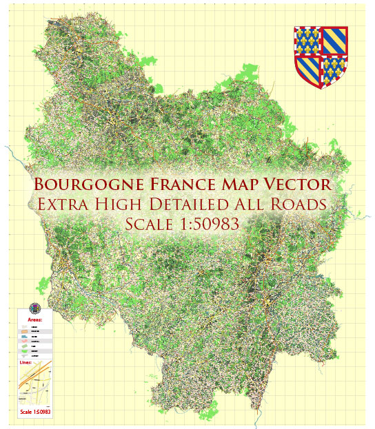
The history of the road system in Bourgogne (Burgundy), France, is intertwined with the broader historical developments of the region and the country as a whole. A general overview of the key stages in the evolution of the road system in Bourgogne.
Vectormap.Net provide you with the most accurate and up-to-date vector maps in Adobe Illustrator, PDF and other formats, designed for editing and printing. Please read the vector map descriptions carefully.
- Roman Roads: Bourgogne, like much of France, was part of the Roman Empire. During the Roman era, from the 1st century BC to the 5th century AD, a network of well-constructed roads, known as Roman roads, crisscrossed the region. These roads played a crucial role in facilitating trade, communication, and military movements. Some of these ancient routes might have influenced the development of later road systems.
- Medieval Period: In the medieval period, Bourgogne experienced significant economic and cultural growth. The construction of castles, abbeys, and towns spurred the development of local roads. These roads were often unpaved and served primarily local needs, connecting villages and markets.
- Royal Roads: With the centralization of power under the French monarchy, especially during the reign of Louis XIV in the 17th century, there was a push to improve infrastructure, including roads. The royal administration invested in the construction and maintenance of key roads to enhance communication and transportation across the kingdom. Bourgogne, strategically located between Paris and the eastern regions, likely saw improvements during this period.
- Napoleonic Era: The Napoleonic era (early 19th century) witnessed further advancements in transportation infrastructure. Napoleon Bonaparte recognized the strategic importance of efficient road networks for military and economic purposes. The construction of the Route Nationale, a national highway system, was initiated during this time. Some of these routes connected Bourgogne to other parts of France.
- Railways and Modernization: The mid-19th century brought the advent of railways, which gradually became the dominant mode of long-distance transportation. While railroads transformed transportation, roads remained crucial for local connectivity. The modernization of roads continued into the 20th century, with the expansion of the highway network.
- Post-World War II: After World War II, there was a renewed focus on infrastructure development across Europe. The construction of autoroutes (motorways) gained prominence, improving the speed and efficiency of long-distance travel. Bourgogne benefited from these developments, connecting the region more seamlessly with the rest of France.
- Contemporary Period: In recent decades, the road system in Bourgogne has seen further upgrades and expansions to accommodate the increasing demands of modern transportation. Efforts have been made to improve road safety, reduce congestion, and enhance connectivity with neighboring regions.
Throughout these historical phases, the road system in Bourgogne has evolved to meet the changing needs of society, from ancient trade routes to modern highways, contributing to the economic and cultural development of the region.


 Author: Kirill Shrayber, Ph.D. FRGS