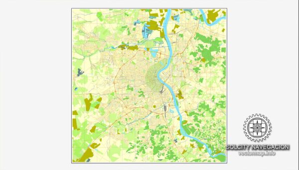
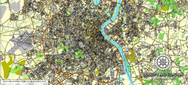
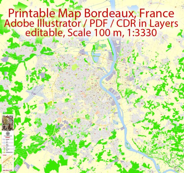
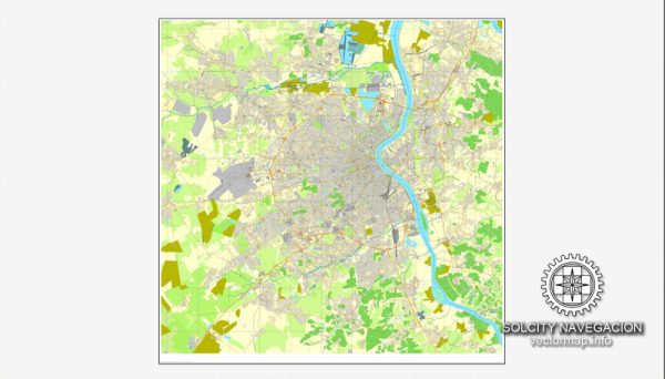
Bordeaux, France, is a major city located in the southwestern part of the country. Known for its rich history, stunning architecture, and, most notably, its wine production, Bordeaux has experienced economic growth and transformation in recent years.
Vectormap.Net provide you with the most accurate and up-to-date vector maps in Adobe Illustrator, PDF and other formats, designed for editing and printing. Please read the vector map descriptions carefully.
Economic Overview:
- Wine Industry: Bordeaux is synonymous with wine, and its vineyards contribute significantly to the local economy. The region is home to some of the world’s most prestigious vineyards and wineries, producing renowned wines such as Bordeaux, Cabernet Sauvignon, and Merlot.
- Tourism: The city attracts a considerable number of tourists due to its cultural heritage, historic sites, and, of course, its wine-related attractions. Tourism plays a crucial role in the local economy, contributing to various sectors such as hospitality, restaurants, and local businesses.
- Aerospace and Technology: Bordeaux has also developed a thriving aerospace and technology sector. The city is home to several high-tech industries and research centers, including the aerospace giant Dassault Aviation. The digital and technology sectors have seen growth, with startups and established companies contributing to Bordeaux’s economic diversification.
- Port and Trade: Bordeaux is situated along the Garonne River, and its historic port has played a significant role in trade. While the importance of the port has diminished compared to historical times, it still contributes to regional trade and commerce.
- Education and Research: Bordeaux has a strong presence in education and research, with institutions like the University of Bordeaux and various research centers. The city’s focus on education and innovation has contributed to the development of a skilled workforce and a knowledge-based economy.
Transportation:
- Air Transportation: Bordeaux-Mérignac Airport is the main international airport serving the region. It facilitates both domestic and international flights, connecting Bordeaux to major cities in Europe.
- Rail Network: Bordeaux has a well-developed railway network. The city’s main train station, Gare Saint-Jean, connects Bordeaux to other major French cities, including Paris, Marseille, and Toulouse. The TGV (high-speed train) service has reduced travel times and increased connectivity.
- Road Infrastructure: Bordeaux is well-connected by road, with several highways and expressways linking it to other parts of France and neighboring countries. The city’s road infrastructure facilitates both local commuting and the transportation of goods.
- Public Transportation: Bordeaux has an efficient public transportation system, including buses and trams, operated by TBM (Transports Bordeaux Métropole). The tram system, in particular, has been expanded in recent years, providing a convenient means of travel within the city.
- River Transport: The Garonne River, which runs through Bordeaux, historically played a crucial role in transportation. While it is not as prominent today, river transport remains a factor in the movement of goods.
Overall, Bordeaux’s economic landscape is diverse, with a blend of traditional sectors like wine and emerging industries such as technology. The city’s transportation infrastructure supports its economic activities and contributes to its role as a key hub in southwestern France.


 Author: Kirill Shrayber, Ph.D.