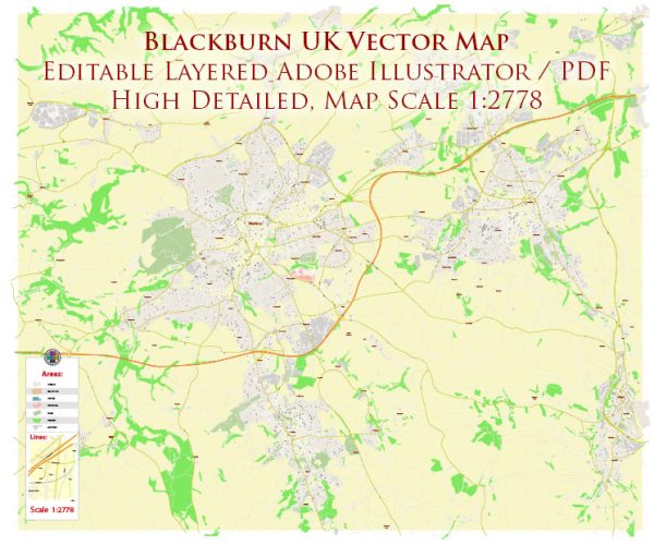
Blackburn, a town in Lancashire, United Kingdom, has a rich history that spans centuries. The development of its road system is intertwined with the town’s growth and evolution. A general overview, keep in mind that specific details may require further research in local archives or historical records.
Vectormap.Net provide you with the most accurate and up-to-date vector maps in Adobe Illustrator, PDF and other formats, designed for editing and printing. Please read the vector map descriptions carefully.
- Early Roads and Settlements: The history of Blackburn’s road system dates back to ancient times when the area was likely connected by footpaths and rudimentary trails. The Roman occupation of Britain (43-410 AD) likely influenced the development of early road networks, although direct evidence in Blackburn may be limited.
- Medieval Period: During the medieval period, Blackburn began to grow as a market town. Roads played a crucial role in connecting the town with nearby settlements and markets. These roads would have been basic, often following natural contours and avoiding obstacles. The establishment of markets and trade routes contributed to the expansion of road networks.
- Industrial Revolution and Turnpikes: The 18th century marked a significant turning point for Blackburn with the onset of the Industrial Revolution. Increased industrial activities led to a surge in population, and the demand for better transportation infrastructure grew. Turnpikes, privately operated toll roads, became a common solution to fund road improvements. Companies were granted the right to charge tolls on specific roads in exchange for maintenance and improvements. The income generated from tolls helped fund road construction and maintenance.
- Railways and Impact on Roads: The mid-19th century saw the rise of railways, which became a dominant mode of transportation. While railways transformed long-distance travel and the transportation of goods, roads still played a crucial role in local connectivity. The railway network had an impact on the road system, with improved roads connecting towns to railway stations.
- 20th Century and Automobiles: The 20th century brought about significant changes with the advent of automobiles. Roads were adapted and upgraded to accommodate motor vehicles. The need for better road infrastructure increased as private car ownership became more widespread. Major roads were improved, and new routes were developed to meet the demands of a growing population and changing transportation needs.
- Post-War Reconstruction and Modernization: After World War II, the process of post-war reconstruction and modernization influenced Blackburn’s road system. The town underwent redevelopment, and road infrastructure was upgraded to accommodate the changing urban landscape and increased traffic.
- Contemporary Developments: In recent decades, Blackburn has continued to adapt its road system to meet contemporary needs. Urban planning, traffic management, and infrastructure projects have played a role in shaping the road network to address issues such as congestion, safety, and accessibility.
Understanding the detailed history of Blackburn’s road system may involve consulting local historical records, maps, and archives, as well as considering broader regional and national developments in transportation.


 Author: Kirill Shrayber, Ph.D. FRGS