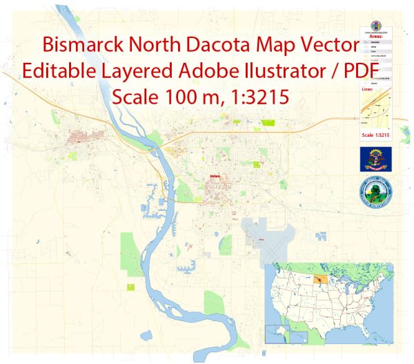
Bismarck, North Dakota, a general overview of the road systems develop in cities in the United States.
Vectormap.Net provide you with the most accurate and up-to-date vector maps in Adobe Illustrator, PDF and other formats, designed for editing and printing. Please read the vector map descriptions carefully.
Bismarck, like many cities in the United States, has likely experienced significant changes and developments in its road system over the years. The road network in any city evolves based on factors such as population growth, economic development, changes in transportation needs, and urban planning initiatives.
Here is a general outline of how road systems typically develop:
- Early Development:
- In the early years of settlement, cities often had basic road systems that were primarily dirt paths or gravel roads.
- The layout and structure of these roads were often influenced by the natural geography of the area and the needs of the local population.
- Expansion and Industrialization:
- As the city grew and industrialized, the road system expanded to accommodate increased traffic and transportation needs.
- Paved roads, initially using materials like bricks or cobblestones, became more common in urban areas.
- Automobile Era:
- The rise of automobiles in the early 20th century led to significant changes in road infrastructure. Cities began to build more extensive road networks to support the increasing number of cars.
- The development of highways and interstates further transformed transportation, connecting cities and regions.
- Post-World War II Era:
- After World War II, there was a boom in suburban development, leading to the creation of more roads and highways to connect suburban areas to urban centers.
- The interstate highway system, authorized in 1956, had a profound impact on urban and regional transportation.
- Modern Urban Planning:
- In recent decades, many cities, including Bismarck, have focused on urban planning strategies that promote sustainable and efficient transportation.
- This includes considerations for public transportation, pedestrian-friendly infrastructure, and the integration of technology for traffic management.
- Ongoing Maintenance and Upgrades:
- Cities continually engage in road maintenance, repairs, and upgrades to meet the evolving needs of the population.
- Efforts to improve safety, reduce traffic congestion, and address environmental concerns are ongoing considerations in road system planning.
For specific and up-to-date information about the history of the road system in Bismarck, North Dakota, I recommend checking local archives, historical records, or contacting the city’s planning or transportation departments. They may have detailed records and information about the development of the road infrastructure in the area. Additionally, local historical societies or libraries may be valuable resources for researching the history of the road system in Bismarck.


 Author: Kirill Shrayber, Ph.D. FRGS