A general overview of the economic and transportation landscape in Birmingham, Alabama.
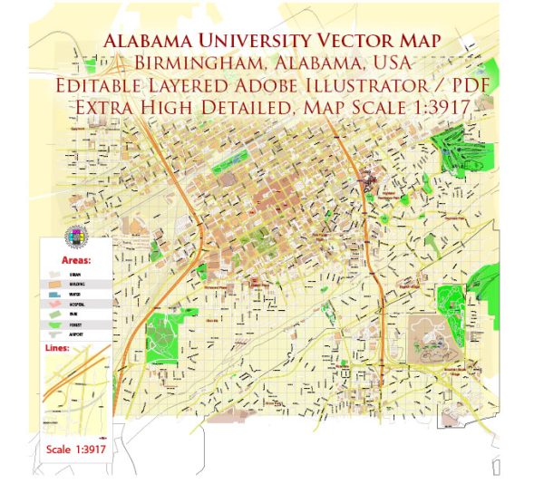
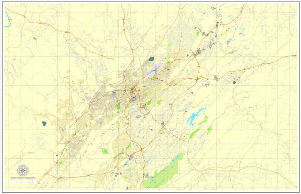
Vectormap.Net provide you with the most accurate and up-to-date vector maps in Adobe Illustrator, PDF and other formats, designed for editing and printing. Please read the vector map descriptions carefully.
Economic Overview:
- Diversified Economy:
- Birmingham has a diversified economy with significant contributions from sectors such as healthcare, finance, manufacturing, education, and technology.
- The city has historically been known for its strong ties to the iron and steel industry, but it has diversified in recent decades.
- Healthcare and Medical Research:
- Birmingham is a major center for healthcare and medical research, with the presence of renowned institutions such as the University of Alabama at Birmingham (UAB) and its affiliated medical facilities.
- Financial Services:
- The city has a growing financial sector, with several banks and financial institutions operating in the area.
- Education:
- Birmingham is home to several higher education institutions, including UAB, Birmingham-Southern College, and Samford University.
- Manufacturing and Technology:
- While the manufacturing sector has historically been significant, the city has seen growth in technology-related industries as well.
- Job Market:
- The job market in Birmingham is competitive, and the city attracts professionals from various fields.
Transportation Overview:
- Road Infrastructure:
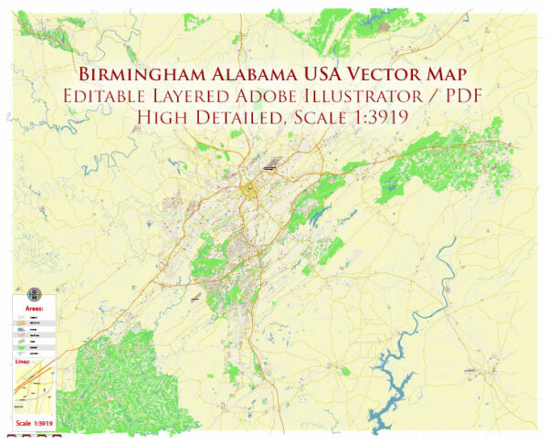
- Birmingham has a well-developed road network, with several major highways converging in the city, including I-20 and I-65.
- The road infrastructure facilitates the movement of goods and people within the city and connects Birmingham to other major cities in the region.
- Public Transportation:
- Birmingham has a public transit system, operated by the Birmingham Jefferson County Transit Authority (MAX Transit). It includes bus services that cover various parts of the city and some surrounding areas.
- Rail Transportation:
- Historically, Birmingham played a crucial role in the development of the rail industry. While passenger rail services are limited, freight rail remains important for transporting goods.
- Air Transportation:
- Birmingham-Shuttlesworth International Airport (BHM) serves as the primary airport for the region. It offers domestic flights and serves as a hub for air travel in and out of Birmingham.
- Port Facilities:
- Although Birmingham is inland, it has access to port facilities through the Port of Mobile, which connects the city to international trade routes through the Gulf of Mexico.
- Cycling and Walking:
- Efforts have been made to improve biking and walking infrastructure in Birmingham, with the development of trails and pathways.
Please note that economic and transportation landscapes can change over time, so it’s advisable to check for the most recent and specific information for the latest updates on Birmingham’s economy and transportation system.

 Author: Kirill Shrayber, Ph.D.