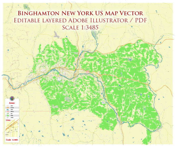
A general overview of the economic and transportation aspects of Binghamton, New York.
Vectormap.Net provide you with the most accurate and up-to-date vector maps in Adobe Illustrator, PDF and other formats, designed for editing and printing. Please read the vector map descriptions carefully.
Economic Overview: Binghamton, located in Broome County, is a city in the Southern Tier region of New York State. Historically, the region has been associated with manufacturing, especially in industries like shoe manufacturing and cigar production. However, like many other Rust Belt cities, Binghamton has experienced economic shifts and challenges over the years.
- Diversification: In recent years, there have been efforts to diversify the local economy. Binghamton has seen growth in sectors such as healthcare, education, and technology. Binghamton University, a part of the State University of New York (SUNY) system, is a significant contributor to the local economy, both in terms of education and research.
- Healthcare and Education: The healthcare sector, with institutions like Lourdes Hospital and United Health Services Hospitals, plays a crucial role in Binghamton’s economy. Additionally, Binghamton University contributes to education and research, fostering innovation in the area.
- Technology and Innovation: The emergence of high-tech industries and the presence of organizations like the Southern Tier Startup Alliance indicate a growing focus on technology and innovation in the region.
- Challenges: Like many other cities, Binghamton faces economic challenges, including population decline and the need for infrastructure revitalization. The city has been working on revitalization efforts to attract new businesses and residents.
Transportation: Binghamton has a transportation infrastructure that facilitates both local and regional connectivity.
- Roads: Binghamton is well-connected by roads. Interstate 81 and Interstate 86 (the Southern Tier Expressway) pass through the region, providing efficient transportation links.
- Public Transit: The Broome County Transit system provides bus services within the city and to surrounding areas. Public transit is crucial for residents who rely on it for daily commuting.
- Air Travel: Greater Binghamton Airport (BGM) serves the region, providing air travel options for both passengers and cargo. While not a major international airport, it connects the community to larger hubs.
- Railways: Binghamton has a history of being a transportation hub due to its railway connections. While the importance of railways has diminished over the years, they still play a role in freight transportation.
Please note that the economic and transportation landscape of any city can evolve, and for the most current information, it’s recommended to refer to local government sources, economic development agencies, and transportation authorities in Binghamton.


 Author: Kirill Shrayber, Ph.D. FRGS