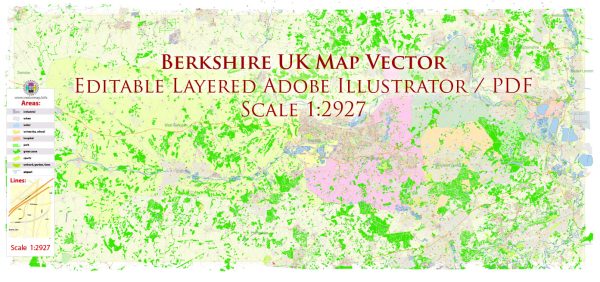
A general overview of the economic and transportation aspects of Berkshire, UK.
Vectormap.Net provide you with the most accurate and up-to-date vector maps in Adobe Illustrator, PDF and other formats, designed for editing and printing. Please read the vector map descriptions carefully.
Economic Overview:
1. Industries:
- Berkshire is known for its diverse economy, with significant contributions from various industries such as technology, finance, pharmaceuticals, and manufacturing.
- The region hosts the headquarters of several multinational companies and is a hub for information technology and telecommunications.
2. Employment:
- High employment rates are generally observed in Berkshire, given the concentration of businesses and industries. The workforce is skilled and educated, reflecting the influence of nearby academic institutions.
3. Finance and Services:
- The financial sector, including banking and insurance, plays a crucial role in Berkshire’s economy. The presence of financial institutions contributes significantly to the overall economic strength of the region.
4. Technology and Innovation:
- Berkshire has a thriving technology sector, with numerous companies involved in research and development. The region benefits from the proximity of the “Silicon Valley” of the UK, which includes areas like Reading.
Transportation Overview:
1. Road Network:
- Berkshire is well-connected by road, with the M4 motorway running through the county, providing easy access to London and other major cities. The A34 and A329 are also important arterial roads in the region.
2. Rail Network:
- The railway network in Berkshire is extensive, with major train stations in cities like Reading, Slough, and Maidenhead. Frequent train services connect these stations to London and other key destinations.
3. Airports:
- Heathrow Airport, one of the busiest international airports globally, is located near Berkshire. The excellent transport links make it convenient for businesses and residents to access global destinations.
4. Public Transport:
- Public transportation services, including buses, are well-developed in Berkshire. They provide connectivity within the county and connect it to neighboring regions.
5. Thames River:
- The River Thames runs through Berkshire, and historically, it has been an essential waterway for transportation. While not a primary means of transportation for goods in the contemporary context, the river still contributes to the overall transportation network.
6. Infrastructure Projects:
- There might be ongoing infrastructure projects aimed at improving transportation within the region. These could include road expansions, railway upgrades, or initiatives to enhance public transportation.
To get the most up-to-date and specific information, you may want to check recent local government reports, news articles, or official economic and transportation sources for Berkshire.


 Author: Kirill Shrayber, Ph.D. FRGS