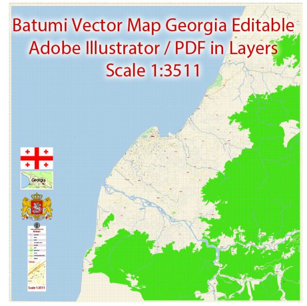
A general overview of the economic history of Batumi, Georgia.
Vectormap.Net provide you with the most accurate and up-to-date vector maps in Adobe Illustrator, PDF and other formats, designed for editing and printing. Please read the vector map descriptions carefully.
Early History: Batumi, a port city on the Black Sea coast, has a rich history dating back to ancient times. Over the centuries, it has been part of various empires, including the Ottoman Empire and the Russian Empire. Its strategic location as a trade and transportation hub played a crucial role in shaping its economic significance.
Soviet Era: During the Soviet era, Batumi was an important industrial and transport center. The city’s economy was heavily influenced by the centralized planning of the Soviet Union. Key industries included shipbuilding, oil refining, and manufacturing. The port of Batumi played a vital role in facilitating trade within the Soviet bloc.
Post-Soviet Independence: Following the dissolution of the Soviet Union in 1991, Georgia gained independence. The transition to a market-oriented economy was challenging, and Batumi, like other regions, experienced economic difficulties. The 1990s were marked by economic reforms, privatization, and efforts to attract foreign investment.
Recent Developments: In the 21st century, Batumi has seen significant economic development and modernization. Efforts have been made to transform the city into a regional business and tourism hub. The Batumi Sea Port has been modernized to enhance its capacity and efficiency. Tourism has become a crucial component of the city’s economy, with the development of hotels, entertainment facilities, and infrastructure to attract both domestic and international visitors.
The construction of the Batumi Boulevard and the Batumi New Boulevard projects has enhanced the city’s appeal as a tourist destination. The government has also implemented various economic reforms to improve the business environment and attract foreign direct investment.
Free Industrial Zone: Batumi is home to the Batumi Free Industrial Zone (BFI), which was established to attract foreign investment and promote economic activities. The BFI offers various incentives, including tax benefits and simplified customs procedures, to attract businesses involved in manufacturing, logistics, and other industries.
Challenges: Despite its progress, Batumi faces challenges, including economic inequality, unemployment, and the need for continued infrastructure development. Additionally, geopolitical factors and regional tensions can impact the city’s economic stability.
In summary, Batumi’s economic history has undergone significant changes, from its role as an industrial hub during the Soviet era to its transformation into a modern and diversified economy in the post-Soviet period. The city’s strategic location, port facilities, and efforts to promote tourism and foreign investment have contributed to its economic development.


 Author: Kirill Shrayber, Ph.D. FRGS