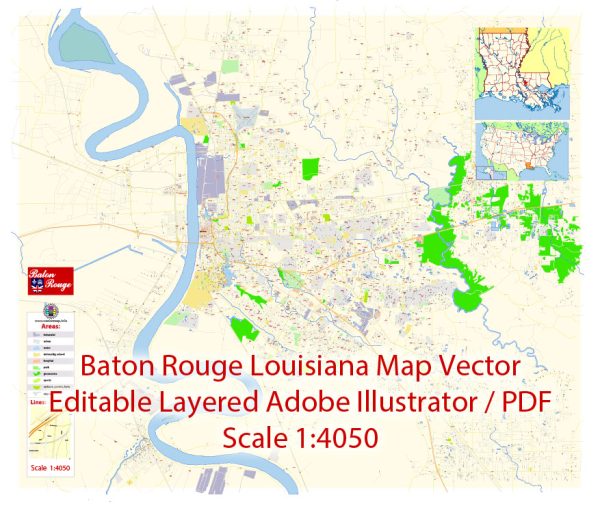
A general overview of the economic and transportation landscape in Baton Rouge, Louisiana.
Vectormap.Net provide you with the most accurate and up-to-date vector maps in Adobe Illustrator, PDF and other formats, designed for editing and printing. Please read the vector map descriptions carefully.
Economic Overview:
- Diverse Economy: Baton Rouge has a diverse economy with sectors such as petrochemicals, healthcare, education, and government playing significant roles. The city is home to numerous industrial plants and refineries along the Mississippi River.
- Petrochemical Industry: The petrochemical industry is a major driver of Baton Rouge’s economy. The city houses one of the largest concentrations of petrochemical plants in the world, contributing significantly to job creation and economic output.
- Education and Healthcare: Baton Rouge is a hub for education and healthcare, with institutions like Louisiana State University (LSU) and various medical facilities. These sectors contribute to the city’s economy and provide employment opportunities.
- Government Sector: The presence of state and federal government offices in Baton Rouge, including the Louisiana State Capitol, contributes to the local economy.
- Retail and Hospitality: The city has a thriving retail and hospitality sector, with shopping centers, restaurants, and entertainment options catering to both residents and visitors.
Transportation Overview:
- Road Transportation: Baton Rouge is well-connected by a network of highways and roads. Interstate 10 and Interstate 12 are two major highways that pass through the city, facilitating the movement of goods and people.
- Public Transportation: The Capital Area Transit System (CATS) provides public transportation services in Baton Rouge, including buses that operate throughout the city and surrounding areas.
- Air Transportation: Baton Rouge Metropolitan Airport (BTR) serves as the primary airport for the region. It offers domestic flights and contributes to the city’s connectivity.
- Rail Transportation: Railroads play a crucial role in transporting goods in and out of Baton Rouge. The city is served by major freight railroads, facilitating the movement of raw materials and finished products.
- Port of Greater Baton Rouge: Located along the Mississippi River, the Port of Greater Baton Rouge is a key transportation asset for the city. It handles a variety of cargoes, including petrochemicals, agricultural products, and containers.
- Traffic and Infrastructure: Baton Rouge experiences traffic congestion, particularly during peak hours. Efforts are made to improve infrastructure and address transportation challenges.


 Author: Kirill Shrayber, Ph.D. FRGS