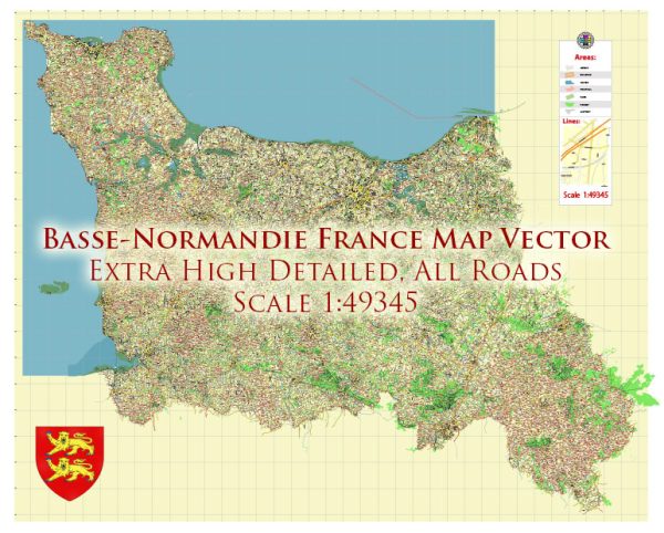
Basse-Normandie is a former administrative region in the northwest of France. However, it’s important to note that administrative divisions in France have undergone changes, and as of 2016, Basse-Normandie, along with Haute-Normandie, was merged to form the new region of Normandy.
Vectormap.Net provide you with the most accurate and up-to-date vector maps in Adobe Illustrator, PDF and other formats, designed for editing and printing. Please read the vector map descriptions carefully.
A general overview of the economic and transportation aspects that were relevant to Basse-Normandie.
Economic Overview: Basse-Normandie, along with its northern counterpart Haute-Normandie, was known for its diverse economy. Key sectors included agriculture, manufacturing, and services.
- Agriculture: The region has a significant agricultural sector, with a focus on dairy farming, cattle breeding, and apple orchards. The famous Camembert cheese is produced in this region.
- Manufacturing: Basse-Normandie had various manufacturing industries, including food processing, textile, and metallurgy. Shipbuilding and aerospace industries were also present.
- Services: The services sector, including tourism, played a crucial role. The region boasts historical sites, such as the Mont Saint-Michel, which attracts a substantial number of tourists.
- Renewable Energy: Basse-Normandie had been investing in renewable energy sources, particularly wind and tidal energy. The tidal power plant in the Rance estuary is an example of such initiatives.
Transportation: Transportation infrastructure is crucial for economic development, and Basse-Normandie had a well-developed network.
- Roads: The region was connected by an extensive network of roads, allowing for easy transportation of goods and people. Major highways and roads linked Basse-Normandie to other regions in France.
- Railways: The railway system was an essential component of the transportation infrastructure. The region was well-connected to the national rail network, facilitating both passenger and freight transport.
- Ports: Basse-Normandie had several ports, including the port of Cherbourg. These ports played a role in trade and maritime activities.
- Airports: The region had airports like Caen-Carpiquet Airport, providing domestic and international air travel options.
- Public Transport: Within urban areas, public transportation systems such as buses were in place to facilitate local commuting.
Please keep in mind that developments may have occurred since my last update, and it’s advisable to refer to the latest sources for the most accurate information on the current economic and transportation situation in the Normandy region.


 Author: Kirill Shrayber, Ph.D. FRGS