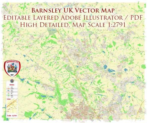
Barnsley, UK, a general overview based on common elements found in many UK towns and cities.
Vectormap.Net provide you with the most accurate and up-to-date vector maps in Adobe Illustrator, PDF and other formats, designed for editing and printing. Please read the vector map descriptions carefully.
- Roads and Highways:
- Barnsley is likely to be connected by a network of roads and highways, including major motorways and A-roads.
- The M1 motorway, which is a major north-south route, may be accessible from Barnsley, providing a key connection to other parts of the country.
- Local roads within Barnsley itself will include a combination of main roads and residential streets.
- Public Transport:
- Barnsley is likely to have a public transportation system, including buses and possibly a train station.
- Local bus services connect various neighborhoods within Barnsley and may provide links to nearby towns and cities.
- The train station, if present, could offer rail services connecting to major cities in the region.
- Rail Services:
- The town may have a railway station providing connections to nearby areas and larger cities.
- Frequent and direct train services might link Barnsley to major cities like Sheffield, Leeds, and Manchester.
- Airports:
- While Barnsley itself may not have an airport, the town is likely to be within a reasonable distance of major airports.
- Leeds Bradford Airport and Manchester Airport are among the closest airports that residents might use for domestic and international flights.
- Cycling and Pedestrian Infrastructure:
- Efforts might be in place to promote sustainable transportation, such as cycling and walking.
- Dedicated cycle paths, pedestrian zones, and other infrastructure may exist to encourage alternative modes of transport.
- Car Parking and Facilities:
- Barnsley will have various car parks, including both on-street and off-street parking facilities.
- Transportation hubs, such as train stations and bus terminals, would likely have parking facilities for commuters.
- Traffic Management:
- Traffic management systems, including traffic lights, roundabouts, and pedestrian crossings, are integral parts of the transportation infrastructure to ensure smooth traffic flow.
For the most accurate and current information, I recommend checking with local government sources, transportation authorities, or official Barnsley town websites. They often provide the latest updates on transportation developments and infrastructure projects.


 Author: Kirill Shrayber, Ph.D. FRGS