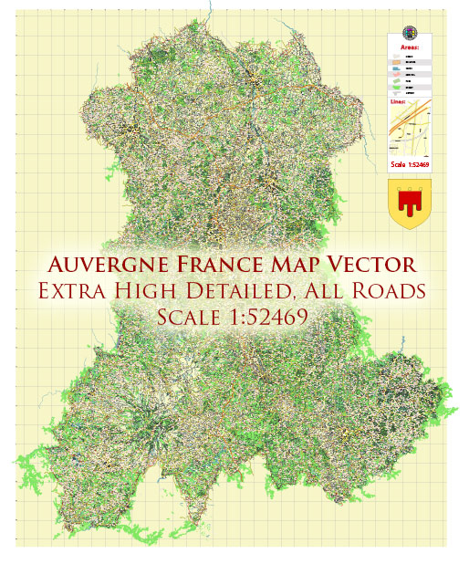
A general overview of the economic and transportation aspects of Auvergne, France.
Vectormap.Net provide you with the most accurate and up-to-date vector maps in Adobe Illustrator, PDF and other formats, designed for editing and printing. Please read the vector map descriptions carefully.
Economic Overview:
- Diverse Economy: Auvergne is a historic region in central France, known for its diverse economy. The region has a mix of agricultural, industrial, and service sectors.
- Agriculture: The region has a strong agricultural base, with a focus on dairy farming, livestock, and cereal production. The fertile plains contribute significantly to the agricultural output.
- Tourism: Auvergne is known for its picturesque landscapes, historic sites, and outdoor activities. Tourism plays a crucial role in the region’s economy, attracting visitors to places like the Puy de Dôme, Vulcania theme park, and various thermal spas.
- Industrial Sector: The region has some industrial activities, including food processing, metallurgy, and the production of electrical equipment. However, the industrial sector is not as dominant as in some other regions of France.
- Research and Education: Auvergne hosts several research institutions and universities, contributing to the knowledge-based economy. Clermont-Ferrand, the largest city in the region, is known for its academic and research activities.
Transportation:
- Roads: Auvergne has a well-developed road network, connecting major cities and towns. The A71 and A75 autoroutes (motorways) are important for regional and national transportation, facilitating the movement of goods and people.
- Rail: The region is served by a network of railway lines connecting it to other parts of France. Major railway stations, such as those in Clermont-Ferrand and Vichy, contribute to both passenger and freight transport.
- Air: Auvergne is served by several airports, with Clermont-Ferrand Auvergne Airport being the main one. This airport provides domestic and international flights, supporting both tourism and business travel.
- Public Transport: Public transportation within cities and towns typically includes buses. Larger cities like Clermont-Ferrand have well-organized public transportation systems.
- Cycling and Walking: The region’s natural beauty and terrain make it suitable for cycling and walking paths, contributing to sustainable and leisurely transportation options.
It’s essential to verify this information with more recent sources, as economic and transportation landscapes can evolve over time. Local government websites, economic reports, and transportation authorities would provide the latest and most accurate information.


 Author: Kirill Shrayber, Ph.D.