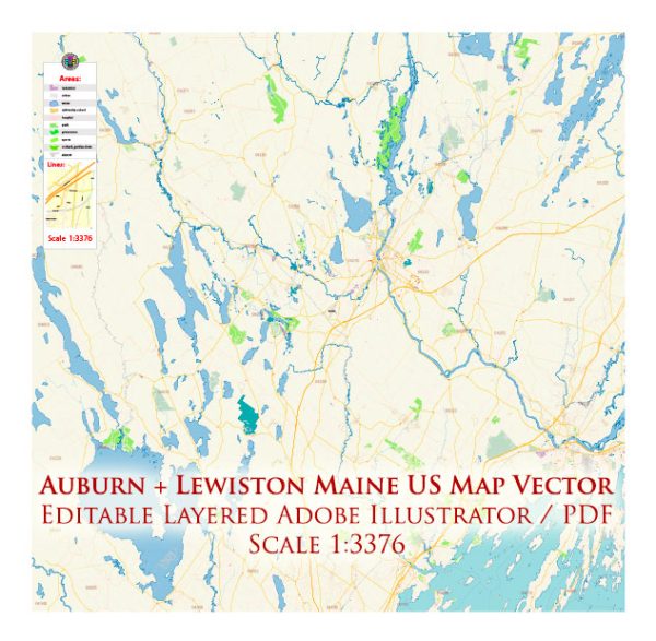
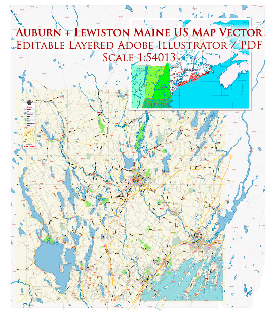
A general overview of the economic and transportation aspects of Auburn and Lewiston in Maine.
Vectormap.Net provide you with the most accurate and up-to-date vector maps in Adobe Illustrator, PDF and other formats, designed for editing and printing. Please read the vector map descriptions carefully.
Economic Overview: Auburn and Lewiston are neighboring cities in Androscoggin County, Maine, and together they form the second-largest metropolitan area in the state. Historically, these cities were known for their manufacturing industries, particularly in textiles and shoe production. However, like many other places in the United States, the economy has evolved over the years.
- Diversification: The economy of Auburn and Lewiston has diversified, with a mix of manufacturing, healthcare, education, and service industries. The presence of healthcare facilities, educational institutions, and small businesses contributes to the economic stability of the region.
- Education and Healthcare: The area is home to institutions like Bates College, which contributes to the local economy and cultural vibrancy. Additionally, healthcare services are significant contributors to the economy, with hospitals and medical facilities playing a crucial role.
- Small Businesses: Small businesses, including retail, restaurants, and local services, are important to the local economy. The community supports a range of locally-owned establishments.
Transportation: Auburn and Lewiston are well-connected by various modes of transportation, facilitating both local and regional movement.
- Roads: The cities are accessible via major roadways, including Interstate 95 and Route 4. These roads connect the area to other parts of Maine and neighboring states.
- Public Transportation: Public transportation is provided by the Citylink bus service, which operates in both Auburn and Lewiston. This service helps residents with commuting within the cities and nearby areas.
- Air Travel: While Auburn and Lewiston do not have a major airport, the Portland International Jetport (PWM) is the closest major airport, providing domestic and limited international flights. Residents often use PWM for air travel.
- Rail Service: While rail service is not as prominent as in some other regions, there are freight rail lines that pass through the area, contributing to the transportation of goods.
- Port Facilities: Being inland cities, Auburn and Lewiston do not have direct access to seaports. However, the port facilities in Portland, Maine, are not far away and contribute to the transportation of goods.
It’s recommended to check with local authorities or recent sources for the most up-to-date information on the economic and transportation conditions in Auburn and Lewiston, as developments may have occurred since my last update.


 Author: Kirill Shrayber, Ph.D.