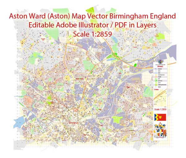
Aston, Birmingham, UK, some general information based on the typical characteristics of urban areas.
Vectormap.Net provide you with the most accurate and up-to-date vector maps in Adobe Illustrator, PDF and other formats, designed for editing and printing. Please read the vector map descriptions carefully.
Economic Overview:
1. Industry and Employment:
Aston, being part of Birmingham, has historically been an industrial area. Manufacturing and engineering have been significant contributors to the local economy. Over the years, there has been a shift towards service industries and the development of business parks.
2. Education and Innovation:
Birmingham is known for its universities and research institutions. The presence of Aston University in or near the ward may contribute to educational and research-related economic activities.
3. Regeneration Projects:
Many urban areas, including Aston, have seen regeneration projects to improve infrastructure and attract investment. Such initiatives often aim to enhance the overall economic landscape.
Transportation:
1. Road Network:
Birmingham, being a major city in the UK, has an extensive road network. Aston is likely well-connected with major roads and highways, facilitating the movement of people and goods.
2. Public Transport:
Public transportation in Birmingham typically includes buses and trains. The West Midlands Railway operates train services, and buses are managed by various operators. The availability and efficiency of public transport can significantly impact the daily commute of residents.
3. Rail and Train Services:
Birmingham is a major hub for train services, and Aston may have a train station or be close to one. This connectivity is crucial for both commuters and businesses.
4. Air Transport:
Birmingham has an international airport, which serves as a gateway for both domestic and international travel. This can be a vital asset for businesses and residents alike.
Recent Developments:
We recommend checking the latest local news, government reports, and community updates for the most recent information. Urban areas often undergo changes in terms of infrastructure, economic initiatives, and transportation networks.
For the most accurate and up-to-date information about Aston, Birmingham, consider consulting local government sources, community organizations, or recent news articles.


 Author: Kirill Shrayber, Ph.D. FRGS