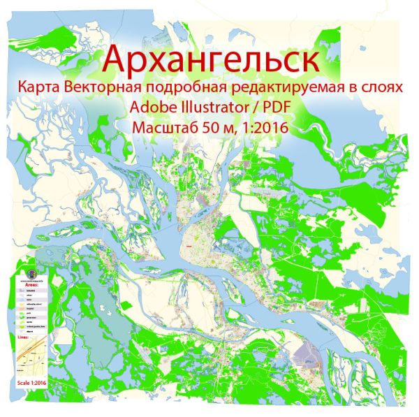
Arkhangelsk is a city in northwestern Russia and serves as the administrative center of Arkhangelsk Oblast.
Vectormap.Net provide you with the most accurate and up-to-date vector maps in Adobe Illustrator, PDF and other formats, designed for editing and printing. Please read the vector map descriptions carefully.
Economy:
- Shipping and Port Facilities:
- Arkhangelsk has historically been an important seaport on the White Sea. The city’s port plays a significant role in facilitating maritime trade, especially for goods destined for or originating from the northern regions of Russia.
- The ice-free nature of the White Sea port allows year-round navigation, making it a crucial hub for the transport of goods to and from the Arctic regions.
- Natural Resources:
- The region around Arkhangelsk is rich in natural resources, including timber, which has been a traditional economic driver. Logging and timber processing industries contribute to the local economy.
- Other natural resources in the region include minerals, such as oil and gas, which may play a role in the economic activities of the area.
- Agriculture and Fisheries:
- The surrounding areas are also engaged in agriculture and fisheries. Fishing has been a historically significant industry in the region due to its proximity to the White Sea.
- Industrial Activities:
- Arkhangelsk has various industrial enterprises, including machinery manufacturing, shipbuilding, and food processing industries.
- Transportation:
- Air Transport:
- Talagi Airport serves as the main airport for Arkhangelsk, providing domestic and limited international flights. The airport plays a crucial role in connecting the region with other parts of Russia.
- Maritime Transport:
- The seaport of Arkhangelsk is a vital transportation node for maritime trade. It handles cargo traffic, including exports of timber, minerals, and other goods. The port’s significance is enhanced by its accessibility throughout the year, thanks to the ice-free conditions of the White Sea.
- Rail Transport:
- The city is connected to the Trans-Siberian Railway, facilitating the transportation of goods to and from other parts of Russia. This rail connectivity is crucial for the economic development of the region.
- Road Transport:
- Roads connect Arkhangelsk with nearby cities and towns. However, road infrastructure in more remote areas might be limited, especially in the Arctic regions.
- River Transport:
- Rivers, including the Northern Dvina River, have historically been important for transportation. However, the significance of river transport might vary based on seasonal conditions.
- Air Transport:
Arkhangelsk’s economy and transportation infrastructure are closely tied to its geographical location, natural resources, and historical importance as a trading and transportation hub in the northern regions of Russia. For the most up-to-date information, it is advisable to consult recent sources or local authorities.


 Author: Kirill Shrayber, Ph.D. FRGS