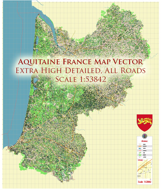
A general overview of the economic and transportation aspects of the Aquitaine region in France.
Vectormap.Net provide you with the most accurate and up-to-date vector maps in Adobe Illustrator, PDF and other formats, designed for editing and printing. Please read the vector map descriptions carefully.
Economic Overview:
1. Diverse Economy:
- Aquitaine has a diverse economy with significant contributions from various sectors, including agriculture, industry, services, and tourism.
- Agriculture plays a vital role, with the region known for its wine production, particularly in areas like Bordeaux. Other agricultural products include maize, cereals, and cattle farming.
2. Industrial Base:
- The region has a well-established industrial base, with industries such as aerospace, automotive, chemicals, and timber processing.
- Bordeaux, the capital city of the region, is an economic hub with a focus on services, trade, and high-tech industries.
3. Tourism:
- Aquitaine is a popular tourist destination, attracting visitors with its scenic landscapes, historic sites, and cultural heritage. The region’s Atlantic coastline, including places like Biarritz, is known for its beaches and surf.
4. Wine Industry:
- The wine industry, particularly Bordeaux wines, is a significant economic driver. The region’s vineyards produce some of the world’s most renowned wines.
Transportation Overview:
1. Road Network:
- Aquitaine has a well-developed road infrastructure, facilitating both local and international transportation. Highways and national roads connect major cities and towns within the region and link Aquitaine to the rest of France and neighboring countries.
2. Rail Network:
- The region has an extensive rail network, connecting cities like Bordeaux, Pau, and Bayonne. The high-speed TGV (Train à Grande Vitesse) network has improved connectivity, reducing travel times to and from major cities.
3. Air Transport:
- Bordeaux-Mérignac Airport is a key international airport serving the region. It connects Aquitaine to major European cities and beyond, supporting both passenger and cargo transportation.
4. Ports and Waterways:
- Aquitaine has several ports along its Atlantic coastline, including Bordeaux, Bayonne, and La Rochelle. These ports facilitate maritime trade and transportation.
5. Public Transportation:
- Cities like Bordeaux have well-developed public transportation systems, including buses and trams, making it convenient for residents and visitors to move within urban areas.
Please note that economic and transportation conditions can evolve, so it’s advisable to check for the latest information from local sources or official government reports for the most current details.


 Author: Kirill Shrayber, Ph.D. FRGS