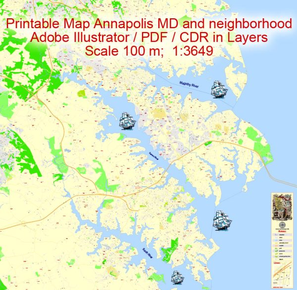
A general overview of the economic and transportation aspects of Annapolis, Maryland.
Vectormap.Net provide you with the most accurate and up-to-date vector maps in Adobe Illustrator, PDF and other formats, designed for editing and printing. Please read the vector map descriptions carefully.
Economic Overview: Annapolis, the capital of Maryland, has a diverse and robust economy. The city’s economy is influenced by its role as the state capital and its proximity to the Washington, D.C., metropolitan area. Key sectors include government, tourism, maritime activities, education, and healthcare.
- Government: The presence of state government offices and institutions contributes significantly to the economy. State and local government jobs, as well as related services, play a crucial role.
- Tourism: Annapolis is a major tourist destination, attracting visitors with its historic sites, maritime heritage, and cultural events. The tourism sector, including hospitality, restaurants, and retail, plays a vital role in the local economy.
- Maritime Activities: The city’s location on the Chesapeake Bay makes maritime activities, including boating, sailing, and related services, important contributors to the economy.
- Education and Healthcare: Annapolis is home to institutions such as the United States Naval Academy and St. John’s College. These institutions, along with healthcare facilities, contribute to the city’s economic landscape.
- Small Businesses: Annapolis has a vibrant community of small businesses, including boutique shops, galleries, and local restaurants, adding to the overall economic diversity.
Transportation: Annapolis has several transportation options for residents and visitors, facilitating connectivity within the city and to neighboring areas.
- Roads and Highways: Major highways, including US Route 50 and Maryland Route 450, provide access to Annapolis. The road network within the city is designed to accommodate both local and through traffic.
- Public Transportation: Annapolis offers public transportation services, including buses, which connect various parts of the city. Additionally, there are regional transit options connecting Annapolis to neighboring communities and the wider metropolitan area.
- Maritime Transportation: Given its location on the Chesapeake Bay, maritime transportation is significant. The city has a harbor and marinas that support recreational boating and maritime commerce.
- Airports: The closest major airports to Annapolis are Baltimore/Washington International Thurgood Marshall Airport (BWI) and Ronald Reagan Washington National Airport (DCA). These airports provide domestic and international air travel options.
- Cycling and Pedestrian Infrastructure: Annapolis has been working on improving infrastructure for cyclists and pedestrians, promoting alternative modes of transportation and enhancing the overall urban experience.


 Author: Kirill Shrayber, Ph.D.