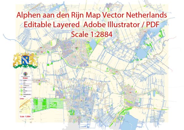
A general overview of the economic and transportation aspects of Alphen aan den Rijn in the Netherlands based on historical information.
Vectormap.Net provide you with the most accurate and up-to-date vector maps in Adobe Illustrator, PDF and other formats, designed for editing and printing. Please read the vector map descriptions carefully.
Economic Overview:
Alphen aan den Rijn is a city and municipality in the province of South Holland in the Netherlands. Its economy is diverse and has evolved over the years. Key economic sectors include:
- Retail and Commerce: Alphen aan den Rijn has a well-developed retail sector, with a mix of local businesses and larger chains.
- Industry: The city has various industrial activities, including manufacturing and logistics. There are industrial zones that host companies engaged in production and distribution.
- Agriculture: While urbanized, the surrounding areas may still have some agricultural activities contributing to the local economy.
- Service Sector: Like many modern cities, services play a significant role in Alphen aan den Rijn’s economy. This includes financial services, healthcare, education, and more.
Transportation:
1. Road Transport:
- Alphen aan den Rijn is well-connected by road. It is situated along the N11 highway, which connects the city to the A12 motorway.
2. Public Transport:
- Train: The city has a train station, Alphen aan den Rijn railway station, providing rail connectivity. This station is an important transport hub in the region.
- Bus: Public buses operate within the city and connect it to neighboring areas. The public transportation system is typically well-organized and punctual.
3. Waterways:
- Alphen aan den Rijn has a network of canals, and water transport has played a historical role. While not as prominent as in the past, these waterways still contribute to the city’s character.
4. Cycling and Walking:
- Like many Dutch cities, Alphen aan den Rijn promotes cycling and walking. The infrastructure supports these eco-friendly modes of transportation, contributing to a healthier and more sustainable urban environment.
5. Air Transport:
- The nearest major airport is Amsterdam Airport Schiphol, which is well-connected to Alphen aan den Rijn by both road and train.
Ongoing Developments:
Cities often undergo changes and developments. As of my last update, there may be ongoing projects related to urban development, infrastructure, or economic initiatives in Alphen aan den Rijn. It’s advisable to check more recent and local sources for the latest information on the city’s economic and transportation status.


 Author: Kirill Shrayber, Ph.D.