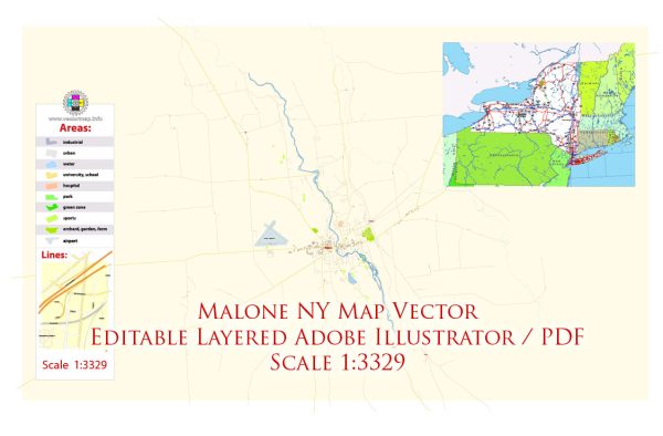
Malone, New York’s infrastructure developments. Vectormap.Net provide you with the most accurate and up-to-date vector maps in Adobe Illustrator, PDF and other formats, designed for editing and printing. Please read the vector map descriptions carefully. Infrastructure can encompass a wide range of facilities and systems, including transportation, utilities, and public services.
For the most current and detailed information about Malone’s infrastructure, consider checking with local government authorities, such as the town or county offices, or relevant municipal departments. Some key aspects to explore may include:
- Transportation: Learn about the condition and development of roads, bridges, and public transportation in and around Malone.
- Utilities: Understand the status and plans for water supply, sewage systems, and other utilities.
- Public Services: Check for information on public facilities such as schools, healthcare facilities, and emergency services.
- Development Plans: Inquire about any ongoing or future infrastructure projects in the area.
- Local News Sources: Local news outlets and community websites often provide updates on infrastructure developments and community initiatives.
- Regional Planning Organizations: Organizations responsible for regional planning may have insights into infrastructure projects and improvements.


 Author: Kirill Shrayber, Ph.D.