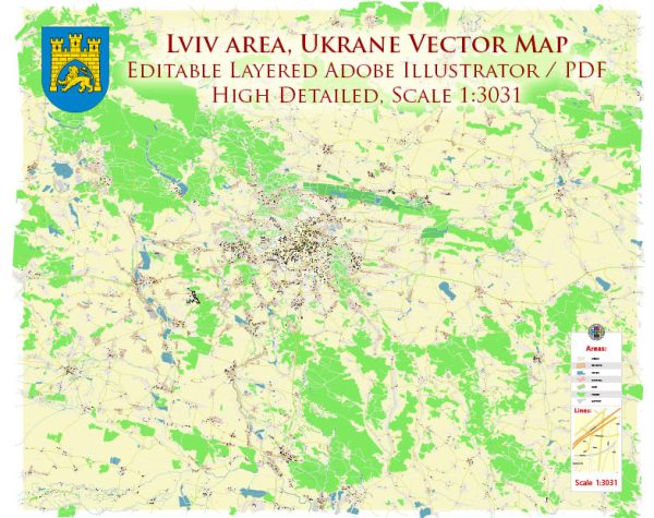
An overview of Lviv’s infrastructure. Vectormap.Net provide you with the most accurate and up-to-date vector maps in Adobe Illustrator, PDF and other formats, designed for editing and printing. Please read the vector map descriptions carefully.
Transportation:
- Public Transportation:
- Lviv has a well-established public transportation system, including buses and trams, which connect various parts of the city.
- The city is also known for its extensive trolleybus network, providing an eco-friendly mode of transportation.
- Railway Transportation:
- Lviv is a major railway hub in Ukraine with a central railway station connecting the city to various national and international destinations.
- Road Infrastructure:
- Lviv has a network of roads and highways, and the city is accessible by car. The road infrastructure connects Lviv with other major cities in Ukraine and neighboring countries.
- Airport:
- Lviv has an international airport, Lviv Danylo Halytskyi International Airport, which serves as a gateway for air travel. It offers connections to various European destinations.
Utilities:
- Water Supply and Sewage:
- Lviv’s water supply and sewage systems are part of the city’s infrastructure. The municipal authorities manage and maintain these systems.
- Electricity:
- The city is connected to the national power grid, providing electricity to residential, commercial, and industrial areas.
- Heating:
- Lviv, like many cities in Ukraine, has a district heating system. This system centrally provides heating to residential and commercial buildings during the colder months.
Communication:
- Internet and Telecommunications:
- Lviv is well-connected in terms of internet and telecommunications services. High-speed internet is widely available, and residents have access to various providers.
- Postal Services:
- Postal services are available throughout the city, with post offices providing mail and package delivery services.
Education and Healthcare:
- Education Facilities:
- Lviv is home to several educational institutions, including Lviv University, contributing to the city’s status as an educational hub.
- Healthcare Facilities:
- The city has hospitals, clinics, and medical facilities that provide healthcare services to residents and visitors.
Cultural and Recreational Infrastructure:
- Cultural Institutions:
- Lviv boasts numerous cultural institutions, museums, art galleries, and theaters that contribute to its vibrant cultural scene.
- Sports Facilities:
- The city has sports facilities, stadiums, and arenas, catering to various sports and recreational activities.
Economic Infrastructure:
- Business and Commercial Centers:
- Lviv has commercial and business centers, contributing to its economic development and providing employment opportunities.
- Industrial Zones:
- There are industrial zones in and around Lviv, supporting manufacturing and production activities.
Ongoing Developments:
- Infrastructure Projects:
- Like many cities, Lviv may have ongoing infrastructure projects aimed at improving transportation, utilities, and other aspects of city life.


 Author: Kirill Shrayber, Ph.D. FRGS