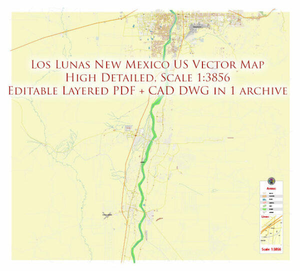
The infrastructure in Los Lunas, New Mexico, includes various elements that support the community’s daily activities, transportation, education, and healthcare.
Vectormap.Net provide you with the most accurate and up-to-date vector maps in Adobe Illustrator, PDF and other formats, designed for editing and printing. Please read the vector map descriptions carefully.
Here’s a general overview:
Transportation:
- Interstate 25 (I-25): Los Lunas is located along I-25, a major north-south interstate highway that facilitates transportation to and from the village, connecting it to Albuquerque and other parts of New Mexico.
- Railroad: The village has historical significance as a railroad town. The rail infrastructure continues to play a role in transportation and trade.
- Public Transportation: While the primary mode of transportation is personal vehicles, there may be local public transportation options, such as buses, serving the community. However, the availability and extent of public transit may vary.
Education:
Los Lunas is served by the Los Lunas School District, which includes elementary, middle, and high schools. The educational infrastructure supports the learning needs of the local population. Additionally, there may be community college or vocational training institutions in the area.
Healthcare:
There are likely healthcare facilities in Los Lunas to cater to the medical needs of the residents. This may include hospitals, clinics, and other healthcare services.
Utilities:
The village should have a reliable utility infrastructure, including water supply, sewage systems, and electricity. These are essential for the well-being and functioning of the community.
Local Services:
- Emergency Services: Los Lunas likely has a police department, fire department, and emergency medical services to ensure the safety and well-being of its residents.
- Community Centers: Facilities for community gatherings, events, and recreational activities may be available to residents.
- Parks and Recreation: The village may have parks, sports facilities, and recreational areas to promote an active lifestyle among its residents.
- Commercial Areas: Local businesses, shopping centers, and other commercial infrastructure contribute to the economic vibrancy of the community.
Remember to verify this information with more recent sources – local government websites, community publications, or official reports are good resources for the latest information on Los Lunas, New Mexico’s infrastructure.


 Author: Kirill Shrayber, Ph.D.