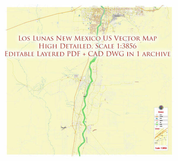
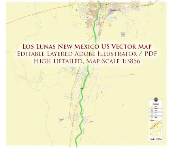
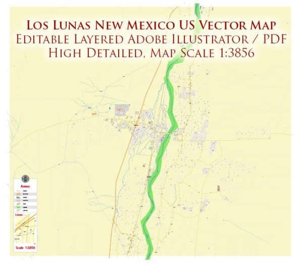
Los Lunas is a village located in Valencia County, New Mexico, United States. Vectormap.Net provide you with the most accurate and up-to-date vector maps in Adobe Illustrator, PDF and other formats, designed for editing and printing. Please read the vector map descriptions carefully.
Geography:
Los Lunas is situated in central New Mexico, approximately 25 miles south of Albuquerque, the state’s largest city. The village is part of the Albuquerque Metropolitan Statistical Area. The Rio Grande River flows to the west of Los Lunas, providing a scenic backdrop to the area.
History:
The area has a rich history dating back to pre-Columbian times, with evidence of ancient Native American settlements. The arrival of Spanish explorers and settlers in the 16th century had a significant impact on the region’s cultural and historical development.
Economy:
The economy of Los Lunas has historically been influenced by agriculture, given its location in the fertile Rio Grande Valley. However, over the years, there has been economic diversification, with an increasing focus on retail, manufacturing, and services. The presence of Interstate 25 running through the area has facilitated transportation and connectivity.
Cultural and Recreational Attractions:
- Los Lunas Museum of Heritage and Arts: This museum showcases the cultural and historical heritage of the region, including exhibits on Native American history, Spanish colonization, and the development of Los Lunas.
- Historic Route 66: A section of the iconic Route 66 passes through Los Lunas, providing a glimpse into the historic significance of the area.
- Bosque Farms: A nearby community known for its agricultural history and the Bosque Farms Rodeo, a popular local event.
- Open Space and Outdoor Activities: The proximity to the Rio Grande offers opportunities for outdoor activities, including hiking, bird watching, and fishing.
Education:
Los Lunas is served by the Los Lunas School District, which includes several elementary, middle, and high schools. The local educational institutions contribute to the community’s development and provide learning opportunities for residents.
Infrastructure:
Los Lunas benefits from its proximity to Interstate 25, facilitating transportation and connectivity to other parts of New Mexico. The village has infrastructure such as schools, healthcare facilities, and recreational areas to support the needs of its residents.


 Author: Kirill Shrayber, Ph.D. FRGS