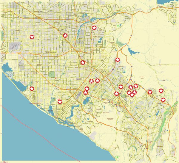
The infrastructure in Southeast Los Angeles, like other parts of the city, includes a comprehensive network of transportation, utilities, education, healthcare, and public services. Here’s an overview:
- Transportation:
- Roads and Highways: Southeast Los Angeles is served by a network of roads and highways, including the Interstate 710 (Long Beach Freeway) and the Interstate 105 (Century Freeway).
- Public Transit: Public transportation options include bus services provided by the Los Angeles County Metropolitan Transportation Authority (Metro).
- Airports:
- While there are no major airports within Southeast Los Angeles, Los Angeles International Airport (LAX) is the primary international airport serving the region.
- Education:
- The region is home to various educational institutions, including public schools, community colleges, and vocational training centers.
- Local school districts and institutions contribute to the educational infrastructure.
- Healthcare:
- Southeast Los Angeles is served by hospitals and medical facilities that provide healthcare services to the community.
- Healthcare infrastructure includes both public and private institutions.
- Utilities:
- Electricity and Gas: Utility services, including electricity and natural gas, are typically provided by Southern California Edison and SoCalGas, respectively.
- Water and Sewer: Water and sewer services are managed by local water districts and agencies, with the Los Angeles Department of Water and Power (LADWP) serving certain areas.
- Emergency Services:
- Fire and police services are provided by the Los Angeles Fire Department (LAFD) and the Los Angeles Police Department (LAPD), respectively.
- Emergency medical services are available through local fire departments and hospitals.
- Parks and Recreation:
- Local parks and recreational facilities contribute to the community’s well-being. These areas may include sports fields, playgrounds, and community centers.
- Commercial and Retail Centers:
- Southeast Los Angeles features various commercial and retail centers that serve the local population.
- Shopping districts, markets, and local businesses contribute to the economic infrastructure.
- Community Centers and Cultural Institutions:
- Facilities such as community centers, libraries, and cultural institutions play a role in community engagement and enrichment.
- Industrial and Commercial Areas:
- Given the diverse nature of Southeast Los Angeles, there are industrial and commercial zones supporting manufacturing and business activities.
- These areas contribute to the economic infrastructure of the region.
- Housing:
- Residential infrastructure includes a mix of housing options, from single-family homes to apartment complexes, supporting the diverse population.
It’s important to note that infrastructure can change over time due to ongoing development and community needs. Local government agencies, utilities, and community organizations play a crucial role in maintaining and upgrading infrastructure to meet the demands of the growing population and ensure the well-being of residents.
Vectormap.Net provide you with the most accurate and up-to-date vector maps in Adobe Illustrator, PDF and other formats, designed for editing and printing. Please read the vector map descriptions carefully.


 Author: Kirill Shrayber, Ph.D.