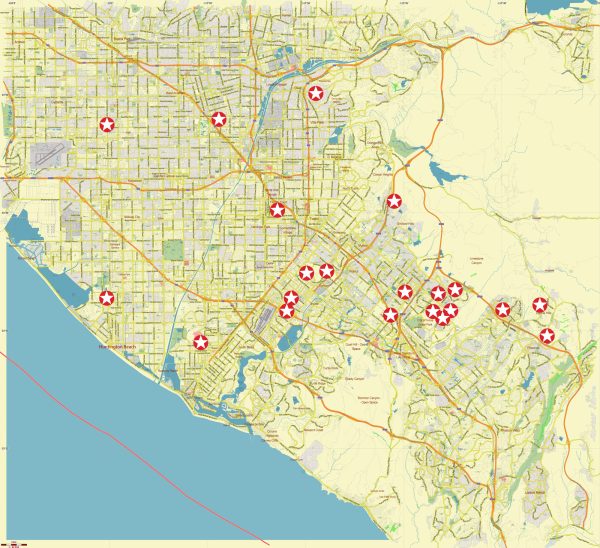
The Southeast Los Angeles region encompasses a mix of neighborhoods and communities, each with its own cultural identity, history, and characteristics.
Vectormap.Net provide you with the most accurate and up-to-date vector maps in Adobe Illustrator, PDF and other formats, designed for editing and printing. Please read the vector map descriptions carefully.
Here’s a detailed overview of some notable areas in Southeast Los Angeles:
- East Los Angeles:
- A predominantly Hispanic and Latino community known for its rich cultural heritage.
- Features landmarks like the Chicano Studies Research Center and the East LA Civic Center.
- Home to vibrant street art, murals, and cultural events.
- Boyle Heights:
- A historic neighborhood with a diverse community, including Mexican-American, Japanese-American, and Jewish communities.
- Known for its cultural institutions like Mariachi Plaza and the historic Breed Street Shul.
- Features iconic murals, local markets, and a mix of architectural styles.
- Huntington Park:
- A densely populated city with a predominantly Latino population.
- Features parks, community centers, and a variety of local businesses.
- Known for its vibrant street life and cultural events.
- South Gate:
- A residential suburb with a mix of housing types, including single-family homes and apartments.
- Offers parks, schools, and community centers for residents.
- Home to the South Gate Sports Center and the South Gate Park.
- Downey:
- A suburban city known for its residential neighborhoods, shopping centers, and recreational facilities.
- Features the Stonewood Center mall and the Columbia Memorial Space Center.
- Home to the historic Downey Theatre and the Carpenters’ Childhood Home.
- Cudahy:
- A small city known for its residential character and local parks.
- Features a mix of housing options, including single-family homes and apartments.
- Close proximity to major transportation routes.
- Lynwood:
- A diverse community with a mix of residential and commercial areas.
- Features local parks, community centers, and educational institutions.
- Known for Plaza Mexico, a shopping and entertainment complex with a cultural theme.
- Bell Gardens:
- A suburban city with a mix of residential and industrial areas.
- Offers parks, community services, and local events.
- Home to the Bicycle Hotel & Casino, a notable local landmark.
- Maywood:
- A small, densely populated city with a primarily Hispanic population.
- Features local parks, schools, and community facilities.
- Close proximity to downtown Los Angeles and major transportation corridors.
- Vernon:
- An industrial city known for its commercial and manufacturing activities.
- Primarily a business and industrial district with limited residential areas.
- Home to various warehouses, factories, and industrial facilities.
The Southeast Los Angeles region is characterized by its diverse population, cultural richness, and a mix of residential and industrial areas. The communities in this region often celebrate their cultural heritage through events, festivals, and local traditions. It’s essential to recognize the distinct identities and contributions of each neighborhood in shaping the broader tapestry of Los Angeles.


 Author: Kirill Shrayber, Ph.D.