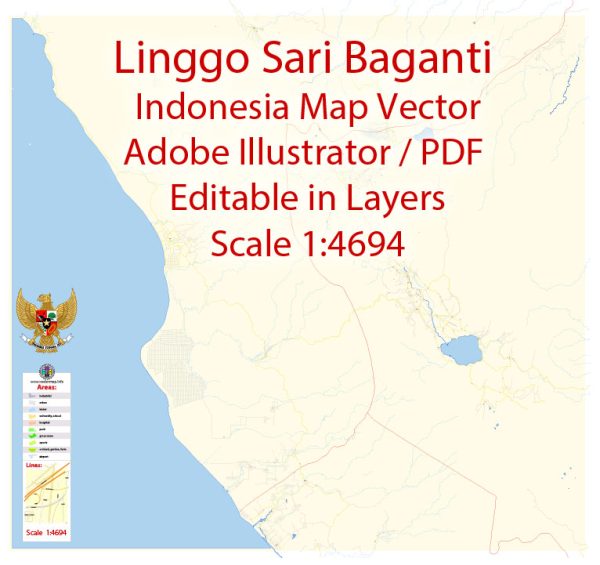
Linggo Sari Baganti, Pesisir Selatan is a regency located in the province of West Sumatra, Indonesia. Vectormap.Net provide you with the most accurate and up-to-date vector maps in Adobe Illustrator, PDF and other formats, designed for editing and printing. Please read the vector map descriptions carefully.
Here is a general overview of Pesisir Selatan:
- Location:
- Pesisir Selatan is situated on the western coast of Sumatra, facing the Indian Ocean.
- Geography:
- The regency is characterized by coastal areas, and it is known for its beautiful beaches and coastal landscapes.
- Administrative Division:
- Pesisir Selatan is divided into districts and sub-districts, each with its own local administration.
- Economy:
- The economy of Pesisir Selatan is primarily based on agriculture, fisheries, and trade. Many local residents are involved in traditional activities such as fishing and farming.
- Culture and Traditions:
- Like many regions in Indonesia, Pesisir Selatan has its own unique cultural heritage. The local population may engage in traditional ceremonies, dances, and music that reflect the rich cultural diversity of the area.
- Tourism:
- Pesisir Selatan is known for its tourism potential due to its coastal beauty. Tourists may visit the regency to enjoy its beaches, explore cultural sites, and experience the local way of life.
- Local Communities:
- The population of Pesisir Selatan consists of diverse ethnic and cultural groups. The regency may be home to various indigenous communities, each contributing to the overall cultural tapestry.
- Transportation:
- Transportation infrastructure may include roads and possibly local ports for fishing and trade activities.
For the most current and detailed information about Pesisir Selatan, especially if you are looking for specific details or recent developments, it is recommended to check with local government sources, tourism boards, or other relevant authorities in the region.


 Author: Kirill Shrayber, Ph.D. FRGS