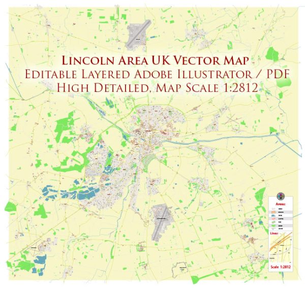
Lincoln, as a relatively compact city, doesn’t have the same extensive district or neighborhood divisions as larger cities. However, it can be roughly divided into several areas, each with its own characteristics:
- Cathedral Quarter:
- This is the historic heart of Lincoln and includes the area around Lincoln Cathedral and Lincoln Castle.
- Steep Hill, a picturesque, cobbled street, connects the lower town to the cathedral quarter.
- The area is known for its medieval architecture, independent shops, and cultural attractions.
- City Centre:
- The city center is a lively area with shopping centers, restaurants, and entertainment options.
- Waterside Shopping Centre and the High Street are prominent shopping areas.
- Bailgate:
- Adjacent to the Cathedral Quarter, Bailgate is a charming area with boutique shops, galleries, and cafes.
- It’s a popular spot for both locals and tourists, offering a mix of history and modern amenities.
- University Area:
- The presence of the University of Lincoln contributes to the vibrancy of this area.
- Alongside academic buildings, you’ll find student housing, pubs, and recreational spaces.
- Brayford Waterfront:
- The Brayford Pool is a natural lake that has been transformed into a marina and waterfront area.
- It’s a hub for entertainment, with restaurants, bars, and a cinema, offering a scenic place to relax.
- Monks Road:
- A residential area located to the east of the city center.
- It has a mix of housing types, including traditional terraced houses and more modern developments.
- Ermine:
- Situated to the northwest of the city center, Ermine is a residential area with schools, parks, and local amenities.
- Boultham:
- Located to the southwest, Boultham is a suburban area with parks and schools, making it a family-friendly neighborhood.
- North Hykeham:
- A suburb situated to the south of Lincoln, North Hykeham has seen residential and commercial development in recent years.
- South Common:
- South Common is a large area of common land to the south of the city, providing green space and recreational opportunities.
These descriptions provide a general overview, and each area within Lincoln has its unique character. It’s always a good idea to explore the city and its neighborhoods firsthand to get a better sense of the local atmosphere and amenities. Vectormap.Net provide you with the most accurate and up-to-date vector maps in Adobe Illustrator, PDF and other formats, designed for editing and printing. Please read the vector map descriptions carefully.


 Author: Kirill Shrayber, Ph.D. FRGS